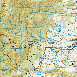
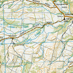
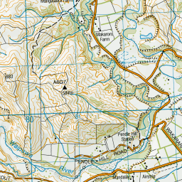
Topo Map showing location of Triplex Hut
This information is sourced from DoC, LINZ and Openstreetmap. Some of the hut photos are mine and the rest are from DoC. I will be adding an upload feature soon so people can photos of .Triplex Hut.
Basic info: standard 12-bunk hut in the Hawke's Bay region.
Latitude: -39.7933814617
Longitude: 176.198153589
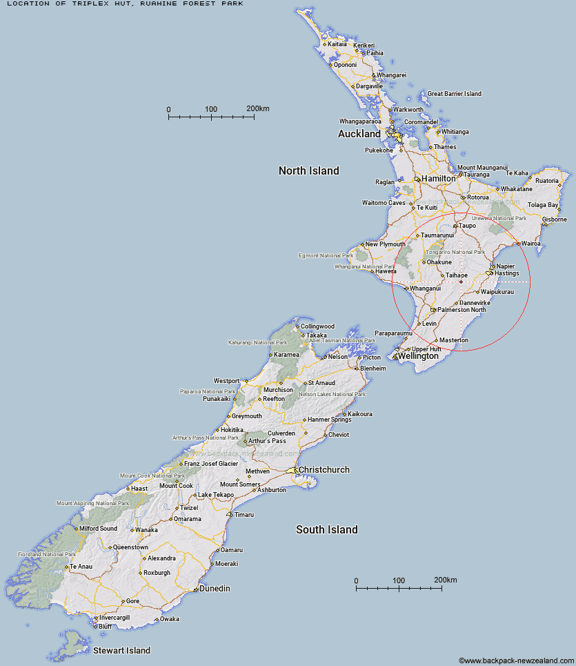
Location: Ruahine Forest Park
Area: Hawke's Bay
Type of Hut: Standard
Tracks: North Block Road walks
Map: BK36 Topo Map | Road Map
Does this hut still exist? Have any more information? Contact
Basic info: standard 12-bunk hut in the Hawke's Bay region.
Latitude: -39.7933814617
Longitude: 176.198153589
Location: Ruahine Forest Park
Area: Hawke's Bay
Type of Hut: Standard
Tracks: North Block Road walks
Map: BK36 Topo Map | Road Map
Does this hut still exist? Have any more information? Contact
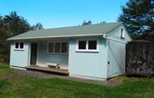
Image: DoC
Scroll down to see a topographical map and road map showing the location of Triplex Hut
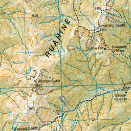
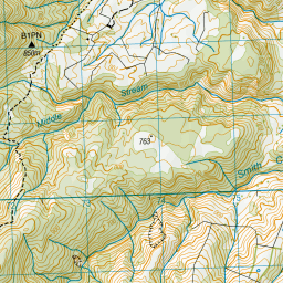
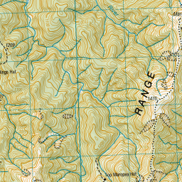
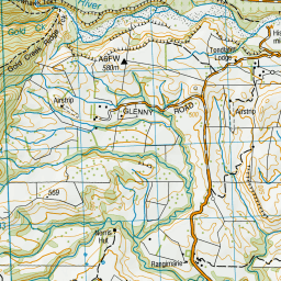
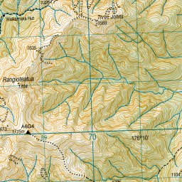
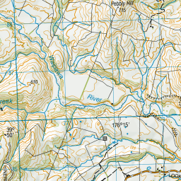
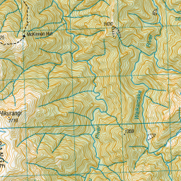
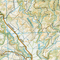
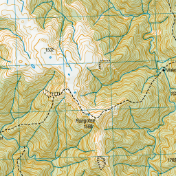
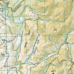
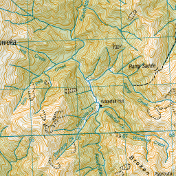

Leaflet | Sourced from LINZ. CC BY 4.0


Leaflet | Map data © OpenStreetMap contributors
[ A ] [ B ] [ C ] [ D ] [ E ] [ F ] [ G ] [ H ] [ I ] [ J ] [ K ] [ L ] [ M ] [ N ] [ O ] [ P ] [ Q ] [ R ] [ S ] [ T ] [ U ] [ V ] [ W ] [ Y ] [ Z ]
Closest 20 Huts to Triplex Hut
These are as the crow fliesWaipawa Forks Hut 2.05km Sunrise Hut 2.65km Gold Creek Hut 3.51km Top Maropea Hut 4.02km Norris Hut 4.41km Waikamaka Hut 5.86km Sparrowhawk Bivouac 6.36km Smiths Stream Hut 6.64km Wakelings Hut 7.27km Hinerua Hut 7.99km Waterfall Hut 8.2km Maropea Forks Hut 8.71km Barlow Hut 8.86km McKinnon Hut 8.93km Crow Hut 10.09km Tarn Bivouac 11.04km Ellis Hut 11.36km Poutaki Hut 12.34km Pourangaki Hut 12.37km Purity Hut 12.48km Kylie Bivouac 12.64km Upper Makaroro Hut 12.86km Parks Peak Hut 13.64km Howletts Hut 13.78km Kawhatau Base 13.78km Otukota Hut 13.83km Kelly Knight Hut 13.9km Daphne Hut 14.09km Colenso Hut 14.41km Iron Bark Hut 15.35km Tin Hut 15.53km Sentry Box Hut 15.57km Triangle Hut 16.18km Ruahine Corner Hut 18.17km Aranga Hut 18.31km Briens Hut 18.68km Longview Hut 18.72km Rangiwahia Hut 18.79km Iron Gate Hut 19.12km Rockslide Hut 19.95km