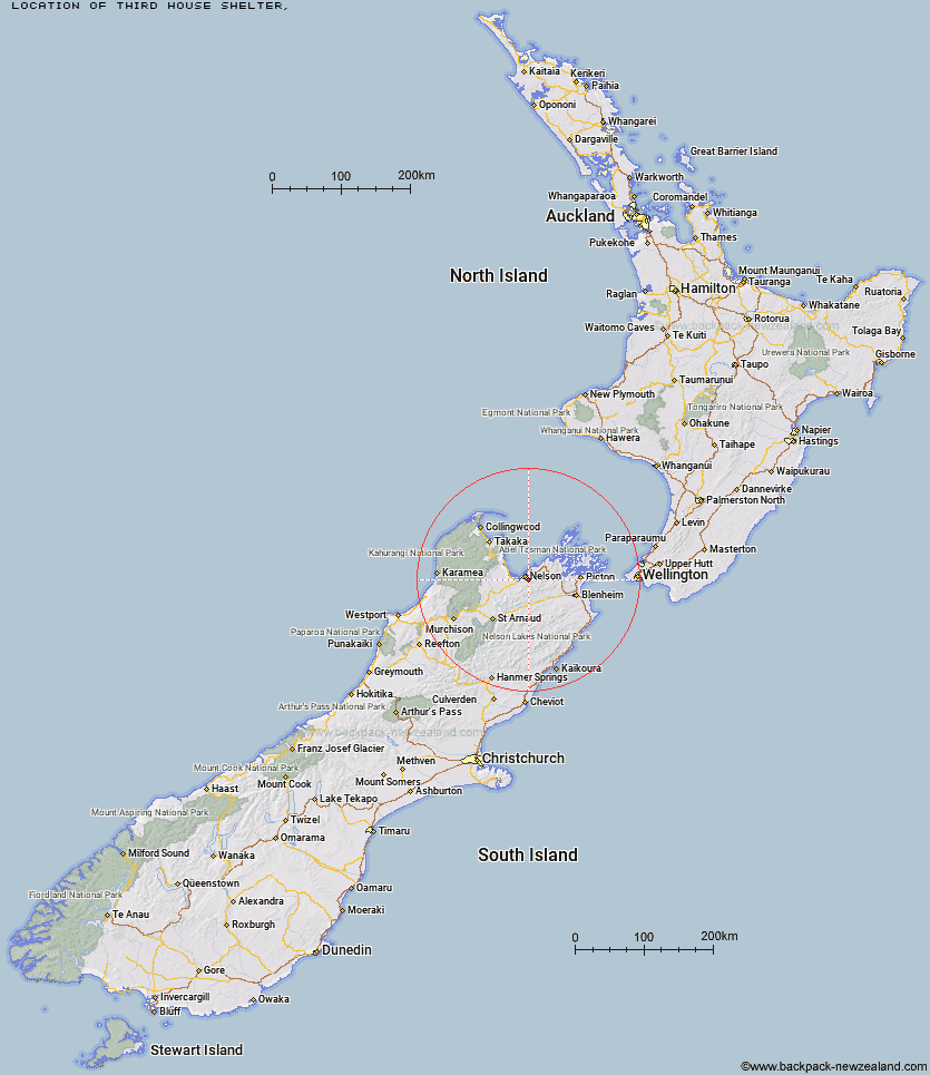
Topo Map showing location of Third House Shelter
This information is sourced from DoC, LINZ and Openstreetmap. Some of the hut photos are mine and the rest are from DoC. I will be adding an upload feature soon so people can photos of .Third House Shelter.
Latitude: -41.3253213295
Longitude: 173.324654757
Location:
Type of Hut:
Map: Topo Map | Road Map
Does this hut still exist? Have any more information? Contact
Latitude: -41.3253213295
Longitude: 173.324654757
Location:
Type of Hut:
Map: Topo Map | Road Map
Does this hut still exist? Have any more information? Contact
Scroll down to see a topographical map and road map showing the location of Third House Shelter
[ A ] [ B ] [ C ] [ D ] [ E ] [ F ] [ G ] [ H ] [ I ] [ J ] [ K ] [ L ] [ M ] [ N ] [ O ] [ P ] [ Q ] [ R ] [ S ] [ T ] [ U ] [ V ] [ W ] [ Y ] [ Z ]
Closest 20 Huts to Third House Shelter
These are as the crow fliesDun Shelter 4.52km Rocks Hut 5.32km Middy Creek Hut 8.67km Roebuck Hut 10.02km Browning Hut 10.62km Captain Creek Hut 10.69km Hacket Hut 12.03km Starveall Hut 16.28km Mt Fell Hut 16.52km Richmond Saddle Hut 17.24km Slaty Hut 18.22km Fishtail Hut 19.22km Old Man Hut 22.61km Mt Rintoul Hut 23.25km Devils Creek Hut 23.36km Lake Chalice Hut 26.97km Tarn Hut 28.37km Fosters Hut 28.86km Mid Goulter Hut 29.34km Mt Sunday Bivouac 30.99km Mid Wairoa Hut 32.13km Chimney 32.36km Lower Goulter Hut 34.26km Top Wairoa Hut 37.93km Hunters Hut 40.6km Porters Creek Hut 45.56km Hidden Hut 46.14km Anchorage Hut 46.67km Turkeys Nest Bivouac 46.9km Holyoake Clearing Shelter 48.42km Gosling Hut 49.32km McNaughts Hut 50.62km Castle Rock Hut 50.98km Bark Bay Hut 51.04km Ramshead Hut 51.31km Boulder Forks Hut 52km Flora Hut 52.18km Mt Arthur Hut 52.84km Red Hills Hut 52.97km Moa Park Shelter 53.96km