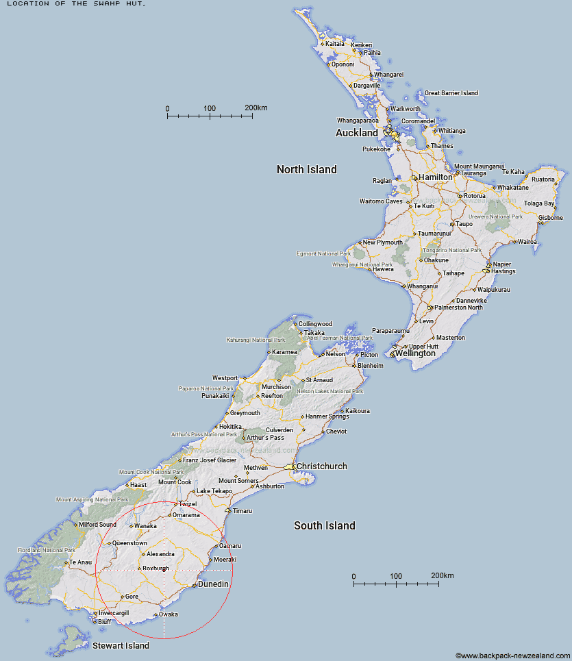
Topo Map showing location of The Swamp Hut
This information is sourced from DoC, LINZ and Openstreetmap. Some of the hut photos are mine and the rest are from DoC. I will be adding an upload feature soon so people can photos of .The Swamp Hut.
Latitude: -45.5747594736
Longitude: 169.839788333
Location:
Type of Hut:
Map: Topo Map | Road Map
Does this hut still exist? Have any more information? Contact
Latitude: -45.5747594736
Longitude: 169.839788333
Location:
Type of Hut:
Map: Topo Map | Road Map
Does this hut still exist? Have any more information? Contact
Scroll down to see a topographical map and road map showing the location of The Swamp Hut
[ A ] [ B ] [ C ] [ D ] [ E ] [ F ] [ G ] [ H ] [ I ] [ J ] [ K ] [ L ] [ M ] [ N ] [ O ] [ P ] [ Q ] [ R ] [ S ] [ T ] [ U ] [ V ] [ W ] [ Y ] [ Z ]
Closest 20 Huts to The Swamp Hut
These are as the crow fliesCanadian Hut 8.37km Howells Hut 9.01km Tent Hut 11.34km Big Hut 23.99km Leaning Lodge 25.89km Iron Hut 30.42km Poplar Hut 46.27km Mt John Hut 47.03km Christmas Creek Hut 48.44km Bendoran Hut 48.97km Jubilee Hut 49.36km Junction Hut 51.56km Possum Hut 53.31km Philip J Cox Memorial Hut 53.32km Ben Rudds Hut 55.92km Nicholsons Hut 56.63km Potters Huts 56.64km Andrew Rees Hut 57.07km Christies Hut 58.29km Boundary Hut 60.64km Diggers Hut 60.74km Bush Huts 62.13km McCrimmons Hut 62.32km Beaumont Hut 62.73km Stronach Hut 62.74km Black Hut 63.47km Leithen Hut 64.25km Whites Hut 64.98km Gentle Annie Hut 67.52km Titan Huts 67.52km Cayenne Hut 68.93km Cairnmuir Musterer's Hut 69.71km Crumb Hut 70.85km Half Moon Hut 70.91km Blue Lake Huts 71.01km Grays Hut 71.33km Mitchells Hut 71.71km Old Woman Hut 72.61km Staircase Hut 72.66km Red Hut 73.25km