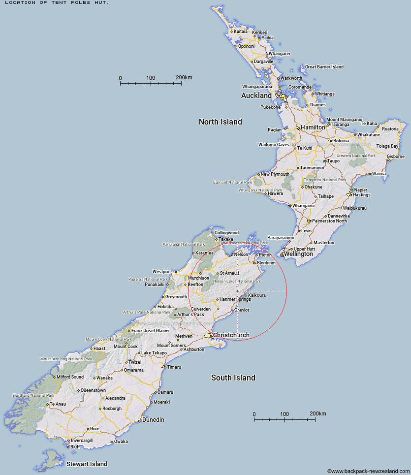
Topo Map showing location of Tent Poles Hut
This information is sourced from DoC, LINZ and Openstreetmap. Some of the hut photos are mine and the rest are from DoC. I will be adding an upload feature soon so people can photos of .Tent Poles Hut.
Latitude: -42.2932124179
Longitude: 173.443306926
Location:
Type of Hut:
Map: Topo Map | Road Map
Does this hut still exist? Have any more information? Contact
Latitude: -42.2932124179
Longitude: 173.443306926
Location:
Type of Hut:
Map: Topo Map | Road Map
Does this hut still exist? Have any more information? Contact
Scroll down to see a topographical map and road map showing the location of Tent Poles Hut
[ A ] [ B ] [ C ] [ D ] [ E ] [ F ] [ G ] [ H ] [ I ] [ J ] [ K ] [ L ] [ M ] [ N ] [ O ] [ P ] [ Q ] [ R ] [ S ] [ T ] [ U ] [ V ] [ W ] [ Y ] [ Z ]
Closest 20 Huts to Tent Poles Hut
These are as the crow fliesWarden Hut 1.67km Black Spur Historic Hut 2.34km Kahutara Bivouac 4.37km Limestone Hut 7.95km Alfred Hut 8.55km Seymour Hut 8.73km Kowhai Hut 12.5km Mt Fyffe Hut 12.81km Dubious Bivouac 12.98km Palmer Hut 15.04km Lake McRae Hut 15.87km Palmer Bivouac 16.09km Stone Jug Hut 16.19km Hapuku Hut 17.28km Goose Flat Hut 18.11km Barratts Hut 19.57km Barratts Bivouac 19.61km Fidgit Bivouac 20.09km Cloudy Hut 24.52km Half Moon Hut 25.07km Haycocks Bivouac 28.47km Ravine Hut 29.16km Guide Hut 30.69km Jam Hut 31.38km Carters Yards Hut 32.46km Acheron Hut 33.09km Munroe Hut 34.38km Junction Hut 34.9km Hornby Bivvy 35.48km Saxton Hut 35.69km Snowgrass Hut 36.26km Yarra Hut 36.74km Red Gate Hut 36.79km Old Middlehurst Hut 36.81km Team Hut 37.81km Burnt Yards Hut 38.43km Dee Hut 41.27km Severn Hut 42.23km Gibson Hut 44.01km Top Gordon Hut 45.1km