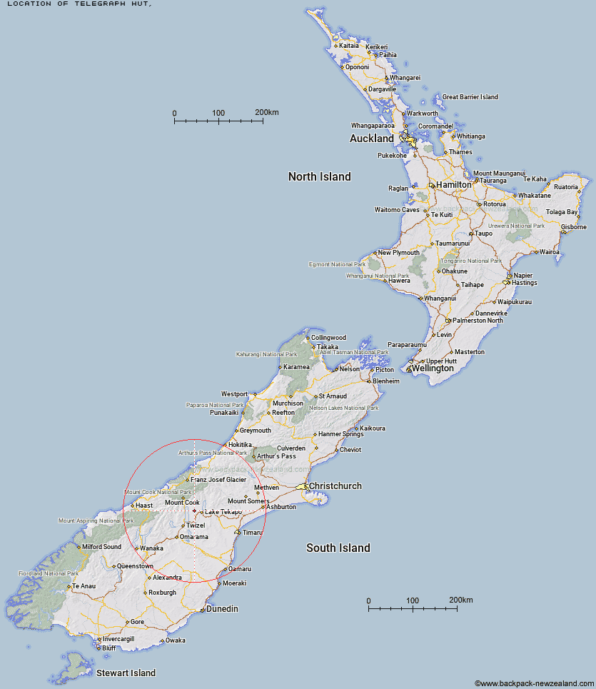
Topo Map showing location of Telegraph Hut
This information is sourced from DoC, LINZ and Openstreetmap. Some of the hut photos are mine and the rest are from DoC. I will be adding an upload feature soon so people can photos of .Telegraph Hut.
Latitude: -43.976955306
Longitude: 170.330757592
Location:
Type of Hut:
Map: Topo Map | Road Map
Does this hut still exist? Have any more information? Contact
Latitude: -43.976955306
Longitude: 170.330757592
Location:
Type of Hut:
Map: Topo Map | Road Map
Does this hut still exist? Have any more information? Contact
Scroll down to see a topographical map and road map showing the location of Telegraph Hut
[ A ] [ B ] [ C ] [ D ] [ E ] [ F ] [ G ] [ H ] [ I ] [ J ] [ K ] [ L ] [ M ] [ N ] [ O ] [ P ] [ Q ] [ R ] [ S ] [ T ] [ U ] [ V ] [ W ] [ Y ] [ Z ]
Closest 20 Huts to Telegraph Hut
These are as the crow fliesMaryburn Hut 6.98km Jollie Hut 17.38km Whale Stream Hut 19.76km Waterfall Hut 20.7km Green Point Hut 22.01km Ryders Hut 24.48km Baikie Hut 25.77km Middle Gorge Hut 25.82km Littles Hut 26.61km Tin Hut 27.03km Stony Stream Bivouac 27.6km Station Hut 29.72km Grough Hut 31.12km Kennedy Hut 31.32km Waterfall Hut 31.68km Camp Stream Hut 32.64km Reardon Hut 32.86km Le Crens Hut 32.9km South Opuha Hut 33.15km Birdcage Hut 33.17km Ribbonwood Hut 33.24km Rex Simpson Hut 33.46km Memorial Hut 33.55km Mueller Hut 35.55km Barron Saddle Hut 35.89km Stocking Stream Shelter 36.19km Erceg Hut 36.23km Richardson Rock Bivouac 36.92km Dodger Hut 37.27km Angus Hut 37.67km Sefton Bivvy 38.1km Liebig Hut 38.75km Dasler Bivouac 38.87km Red Hut 39.83km Cullers Hut 40.04km Caroline Hut 40.05km Copland Shelter 40.35km Elcho Hut 40.38km Ball Hut 40.74km Onslow Hut (Steffan Memorial Hut) 40.91km