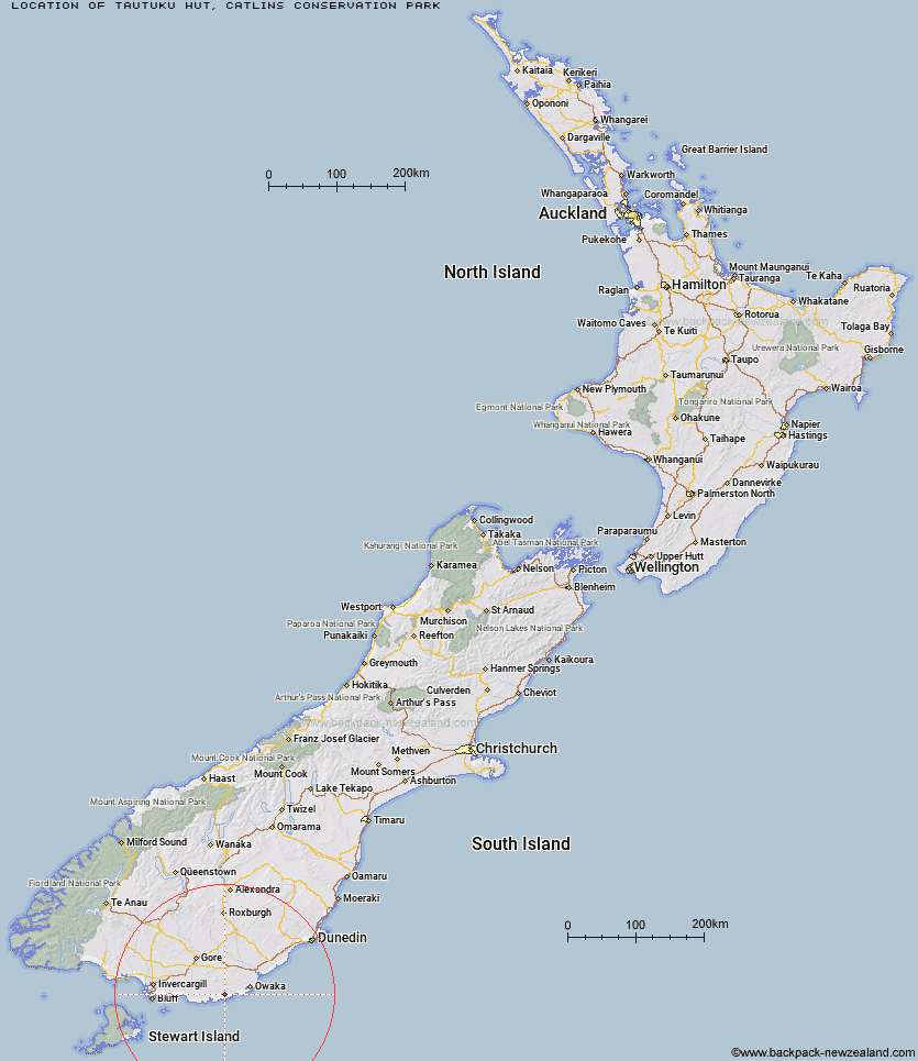
Topo Map showing location of Tautuku Hut
This information is sourced from DoC, LINZ and Openstreetmap. Some of the hut photos are mine and the rest are from DoC. I will be adding an upload feature soon so people can photos of .Tautuku Hut.
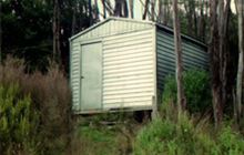
Basic info: basic four-bunk hut in the Coastal Otago area.
Latitude: -46.5538006453
Longitude: 169.325003254
Location: Catlins Conservation Park
Area: Otago
Type of Hut: Basic/bivvies
Map: CG13 Topo Map | Road Map
Does this hut still exist? Have any more information? Contact
Basic info: basic four-bunk hut in the Coastal Otago area.
Latitude: -46.5538006453
Longitude: 169.325003254
Location: Catlins Conservation Park
Area: Otago
Type of Hut: Basic/bivvies
Map: CG13 Topo Map | Road Map
Does this hut still exist? Have any more information? Contact

Image: DoC
Scroll down to see a topographical map and road map showing the location of Tautuku Hut

[ A ] [ B ] [ C ] [ D ] [ E ] [ F ] [ G ] [ H ] [ I ] [ J ] [ K ] [ L ] [ M ] [ N ] [ O ] [ P ] [ Q ] [ R ] [ S ] [ T ] [ U ] [ V ] [ W ] [ Y ] [ Z ]
Closest 20 Huts to Tautuku Hut
These are as the crow fliesMcLennan Hut 13.81km Iron Hut 86.24km Beaumont Hut 87.1km Leithen Hut 90.83km Chew Tobacco Hunters Hut 99.03km Port William Hut 99.48km Little Glory Hunters Hut 100.7km North Big Glory Hunters Hut 101.87km Bungaree Hut 102.52km Port Adventure Hunters Hut 103.33km Murray River Hunters Hut 104.35km Stronach Hut 104.54km Christmas Village Hut 104.86km Christmas Village Hunters Hut 104.91km Kellys Hunters Hut 105.11km Hapuatuna Hunters Hut 105.39km North Arm Hut 106.16km Tent Hut 106.55km North Tikotatahi Hunters Hut 107km Black Hut 107.08km Abrahams Bay Hunters Hut 108.42km Sullivan Hut 109.63km Hyde Home Hut 109.92km South West Arm Hunters Hut 110.62km Freds Camp Hut 110.79km Yankee River Hut 110.84km Jim Baird Hut 112.09km Freshwater Hut 112.68km Lords River Hunters Hut 113.02km Flaxy Hut 114.46km Smoky Hunters Hut 115.27km Junction Hut 115.34km Titan Huts 115.43km The Swamp Hut 115.88km Junction Hut 116.5km Turnbull's (Big Dam) Hut 116.58km Martin's Hut 116.87km Long Harry Hut 116.92km Dome Hut 118.49km Christies Hut 119.09km