Topo Map showing location of Tarn Hut
This information is sourced from DoC, LINZ and Openstreetmap. Some of the hut photos are mine and the rest are from DoC. I will be adding an upload feature soon so people can photos of .Tarn Hut.
Basic info: This basic four-bunk hut, in the North Canterbury and Arthur's Pass area, is sited next to a small picturesque tarn in open alpine grassland.
Latitude: -43.0388481947
Longitude: 172.149240258
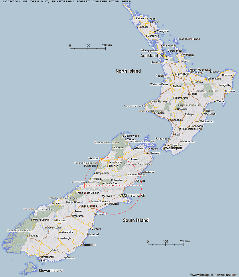
Location: Puketeraki Forest Conservation Area
Area: Canterbury
Type of Hut: Basic/bivvies
Tracks: Tarn Hut tracks
Map: BV22 Topo Map | Road Map
Does this hut still exist? Have any more information? Contact
Basic info: This basic four-bunk hut, in the North Canterbury and Arthur's Pass area, is sited next to a small picturesque tarn in open alpine grassland.
Latitude: -43.0388481947
Longitude: 172.149240258
Location: Puketeraki Forest Conservation Area
Area: Canterbury
Type of Hut: Basic/bivvies
Tracks: Tarn Hut tracks
Map: BV22 Topo Map | Road Map
Does this hut still exist? Have any more information? Contact
Scroll down to see a topographical map and road map showing the location of Tarn Hut
[ A ] [ B ] [ C ] [ D ] [ E ] [ F ] [ G ] [ H ] [ I ] [ J ] [ K ] [ L ] [ M ] [ N ] [ O ] [ P ] [ Q ] [ R ] [ S ] [ T ] [ U ] [ V ] [ W ] [ Y ] [ Z ]
Closest 20 Huts to Tarn Hut
These are as the crow fliesYoungman Stream Hut 3.13km Lilburne Hut 4.08km Anna Hut 11.86km Cattle Creek Hut 11.87km Anderson's Hut 15.28km Bob's Camp Bivouac 16.29km Lochinvar Hut 16.37km Puketeraki Bivouac 16.45km Ant Stream Hut 16.52km Esk Bivouac 17.02km Hamilton Hut 17.27km Pinchgut Hut 18.3km Seldom Inn Hut 18.86km Lower Salmon Creek Bivouac 19.35km Black Hill Hut 19.46km Ant Stream Bivouac 19.55km Wharfedale Hut 19.75km Turnbull Bivouac 21.63km Bull Creek Hut 21.89km Walker Hut 23.57km Deep Creek Hut 24.03km Rosa Hut 24.84km Adams Hut 25.29km Candlesticks Bivouac 25.47km Bush Camp Hut 25.58km Petticoat Junction Hut 26.08km Kinnebrooks Hut 26.14km North Esk Hut 27.29km Tommys Cabin 28.52km Ranger Bivouac 28.95km Andrews Shelter 29.39km Riversdale Hut 30.4km Broken River Hut 30.45km Stony Stream Hut 31.39km Trust/Poulter Hut 32.27km South Branch Research Hut 33.08km Hawdon Shelter 33.17km Upper South Branch Hurunui Hut 33.3km Lake Mason Hut 33.38km East Hawdon Bivouac 34.06km