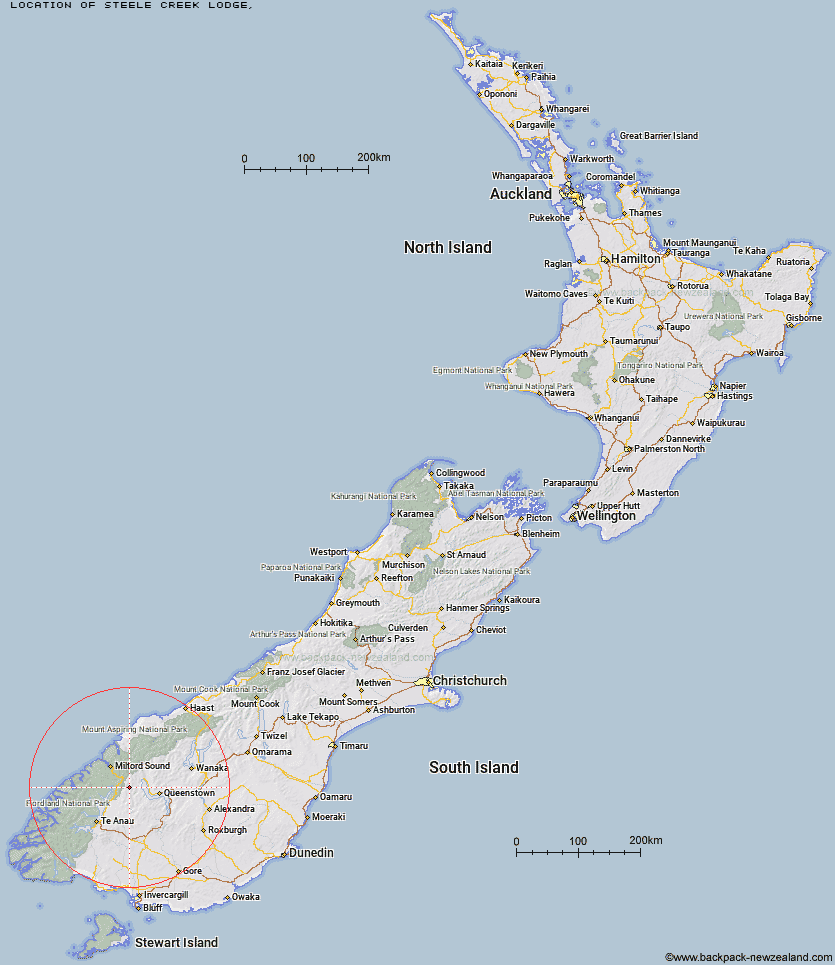
Topo Map showing location of Steele Creek Lodge
This information is sourced from DoC, LINZ and Openstreetmap. Some of the hut photos are mine and the rest are from DoC. I will be adding an upload feature soon so people can photos of .Steele Creek Lodge.
Latitude: -44.9618071713
Longitude: 168.213508391
Location:
Type of Hut:
Map: Topo Map | Road Map
Does this hut still exist? Have any more information? Contact
Latitude: -44.9618071713
Longitude: 168.213508391
Location:
Type of Hut:
Map: Topo Map | Road Map
Does this hut still exist? Have any more information? Contact
Scroll down to see a topographical map and road map showing the location of Steele Creek Lodge
[ A ] [ B ] [ C ] [ D ] [ E ] [ F ] [ G ] [ H ] [ I ] [ J ] [ K ] [ L ] [ M ] [ N ] [ O ] [ P ] [ Q ] [ R ] [ S ] [ T ] [ U ] [ V ] [ W ] [ Y ] [ Z ]
Closest 20 Huts to Steele Creek Lodge
These are as the crow fliesRats Nest Hut 2.85km Steele Creek Hut 3.87km Greenstone Hut 4.32km Slip Flat Hut 4.81km Home Hill Hut 7.24km Mid Caples Hut 9.08km Taipo Hut 9.88km McKellar Hut 11.37km McKellar Lodge 11.6km Upper Caples Hut 13.12km The Divide Shelter 17km Lake Howden Hut 17.39km Forks Hut 18.21km Kay Creek Hut 18.27km Boundary Hut 19.96km Lake Mackenzie Lodge 21.7km Bonnie Jean Hut 21.79km Lake Mackenzie Hut 21.83km Jean Hut 21.89km Heather Jock Hut 22.51km McIntyre's Hut 22.84km Glade House 22.86km Kelly's Hut 23.65km McIntosh Hut 23.99km Wallers Hut 24.51km Clinton Hut 24.82km Careys Hut 25.47km Routeburn Falls Lodge 26.22km Routeburn Falls Hut 26.26km Routeburn Flats Hut 26.26km Sam Summers Hut 26.76km Homer Hut 27.28km Routeburn Shelter 27.49km West Burn Hut 27.57km Phil's Bivvy 28.06km Gill's Bivvy 28.9km Worsley Hut 29.98km Hirere Shelter 31.08km Stoney Creek Hut 32.03km Butchers Hut 32.2km