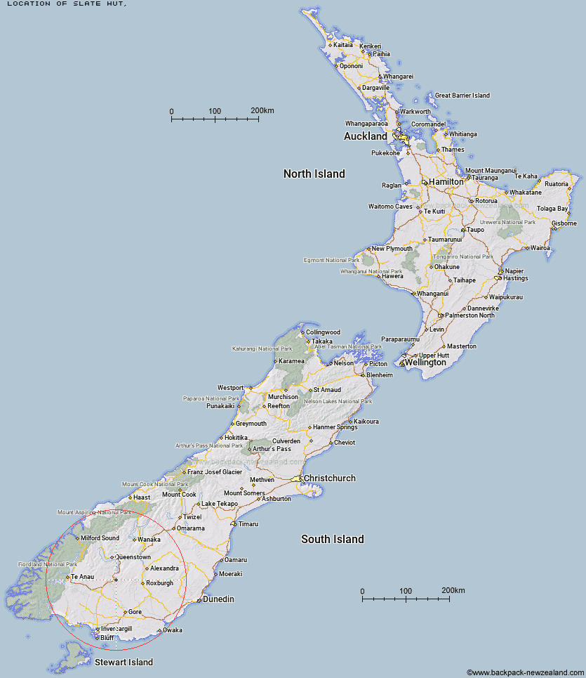
Topo Map showing location of Slate Hut
This information is sourced from DoC, LINZ and Openstreetmap. Some of the hut photos are mine and the rest are from DoC. I will be adding an upload feature soon so people can photos of .Slate Hut.
Latitude: -45.4701879043
Longitude: 168.750764065
Location:
Type of Hut:
Map: Topo Map | Road Map
Does this hut still exist? Have any more information? Contact
Latitude: -45.4701879043
Longitude: 168.750764065
Location:
Type of Hut:
Map: Topo Map | Road Map
Does this hut still exist? Have any more information? Contact
Scroll down to see a topographical map and road map showing the location of Slate Hut
[ A ] [ B ] [ C ] [ D ] [ E ] [ F ] [ G ] [ H ] [ I ] [ J ] [ K ] [ L ] [ M ] [ N ] [ O ] [ P ] [ Q ] [ R ] [ S ] [ T ] [ U ] [ V ] [ W ] [ Y ] [ Z ]
Closest 20 Huts to Slate Hut
These are as the crow fliesGarston Ski Hut 1.81km Mud Hut 1.85km Dome Hut 9.91km Blue Lake Huts 14.67km Junction Hut 15.15km Flaxy Hut 15.42km Jim Baird Hut 16.81km Hyde Home Hut 18.53km Sullivan Hut 19.2km Titan Huts 19.24km Mitchells Hut 19.44km Baileys Hut 22.02km Ross Hut 23.07km Bush Huts 23.57km Cowshed Hut 24.37km Mansion Hut 25.67km Shepherd Creek Hut 25.93km Black Hut 26.7km Siberia Hut 26.95km McCrimmons Hut 27.35km Christies Hut 27.38km Stronach Hut 28.9km Irthing Hut 29.39km Diggers Hut 29.66km Dog Box Bivouac 29.79km Billy Hut 30.03km Mt Bee Bunkrooms 30.12km Cromel Branch Hut 30.47km Andrew Rees Hut 30.69km Potters Huts 31.08km Cromel Base Hut 31.83km Saint Marys Hut 32.68km Two Mile Hut 33.12km Upper Cromel Hut 33.13km Long Burn Hut 33.5km Junction Hut 34.07km Boundary Hut 34.52km Islands Hut 35.92km Nicholsons Hut 36.4km Whites Hut 37.73km