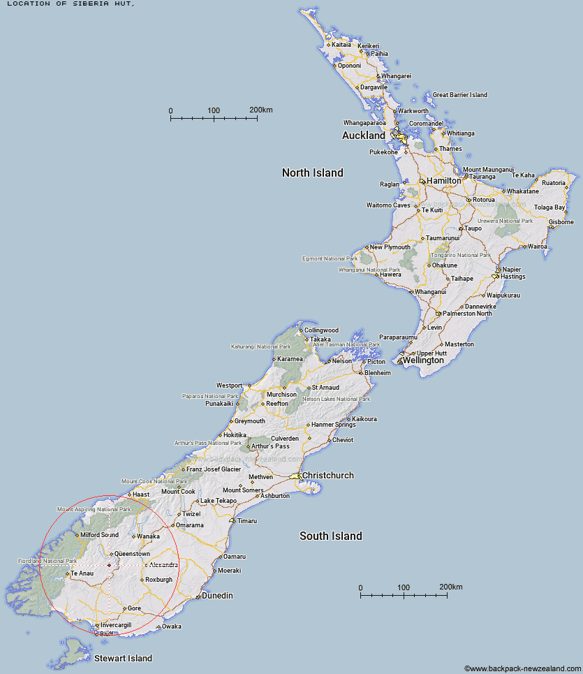
Topo Map showing location of Siberia Hut
This information is sourced from DoC, LINZ and Openstreetmap. Some of the hut photos are mine and the rest are from DoC. I will be adding an upload feature soon so people can photos of .Siberia Hut.
Latitude: -45.2505493711
Longitude: 168.604946142
Location:
Type of Hut:
Map: Topo Map | Road Map
Does this hut still exist? Have any more information? Contact
Latitude: -45.2505493711
Longitude: 168.604946142
Location:
Type of Hut:
Map: Topo Map | Road Map
Does this hut still exist? Have any more information? Contact
Scroll down to see a topographical map and road map showing the location of Siberia Hut
[ A ] [ B ] [ C ] [ D ] [ E ] [ F ] [ G ] [ H ] [ I ] [ J ] [ K ] [ L ] [ M ] [ N ] [ O ] [ P ] [ Q ] [ R ] [ S ] [ T ] [ U ] [ V ] [ W ] [ Y ] [ Z ]
Closest 20 Huts to Siberia Hut
These are as the crow fliesRoss Hut 4.59km Mitchells Hut 7.63km Long Burn Hut 8.32km Billy Hut 8.46km Saint Marys Hut 8.75km Cowshed Hut 17.02km Two Mile Hut 17.64km Dog Box Bivouac 20.45km Shepherd Creek Hut 21.79km Sam Summers Hut 23.29km Baileys Hut 24.14km Garston Ski Hut 25.23km Slate Hut 26.95km Irthing Hut 27.31km Glen Roy Raceman's Hut 28.01km Mud Hut 28.03km Ashton Hut 30.22km Upper Cromel Hut 30.68km Mansion Hut 31.1km Cromel Branch Hut 31.3km Upper Oreti Hut 33.3km Islands Hut 34.54km Upper Windley Hut 34.97km Careys Hut 35.18km Lincoln Hut 35.37km Boundary Hut 35.54km Mt Bee Bunkrooms 35.54km West Burn Hut 35.65km Butchers Hut 35.99km Blue Lake Huts 36.44km Old Woman Hut 36.75km Dome Hut 36.86km Taipo Hut 37.35km Cromel Base Hut 37.5km Green Gate Huts 39.7km Greenstone Hut 40.39km Forks Hut 40.39km McCrimmons Hut 40.64km Junction Hut 41.27km Whites Hut 41.48km