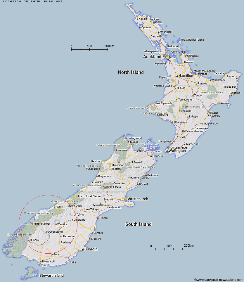
Topo Map showing location of Shiel Burn Hut
This information is sourced from DoC, LINZ and Openstreetmap. Some of the hut photos are mine and the rest are from DoC. I will be adding an upload feature soon so people can photos of .Shiel Burn Hut.
Latitude: -44.6809327919
Longitude: 168.73567564
Location:
Type of Hut:
Map: Topo Map | Road Map
Does this hut still exist? Have any more information? Contact
Latitude: -44.6809327919
Longitude: 168.73567564
Location:
Type of Hut:
Map: Topo Map | Road Map
Does this hut still exist? Have any more information? Contact
Scroll down to see a topographical map and road map showing the location of Shiel Burn Hut
[ A ] [ B ] [ C ] [ D ] [ E ] [ F ] [ G ] [ H ] [ I ] [ J ] [ K ] [ L ] [ M ] [ N ] [ O ] [ P ] [ Q ] [ R ] [ S ] [ T ] [ U ] [ V ] [ W ] [ Y ] [ Z ]
Closest 20 Huts to Shiel Burn Hut
These are as the crow fliesCabin Hut 3.82km Polnoon Hut 4.05km Sixteen Mile Huts 6.8km Ballarat Hut - Flood Burn 9.97km Hundred Mile Hut 10.1km Black Peak Hut 11.71km Saddle Hut 12.81km Bullendale Hut 12.83km Lochnagar Hut 13.19km Tummel Burn Hut 13.54km Dynamo Hut 14.58km Archie's Hut - Copper Creek 14.98km Peats Hut 16.61km Roses Hut 17.01km Crystal Hut 17.5km Raspberry Creek Shelter 18.69km Highland Creek Hut 19.3km Sainsburys Huts 19.44km Fern Burn Hut 20.72km Twenty Five Mile Hut 21.45km Cascade Hut 21.58km Stoney Creek Hut 22.01km Shelter Rock Hut 22.51km Dart Hut 22.79km Aspiring Hut 23.44km Earnslaw Hut 23.72km Eight Mile Hut 24.45km Green Gate Huts 24.48km Esquilant Bivvy Hut 27km Wallers Hut 27.56km McIntosh Hut 27.7km French Ridge Hut 28.25km Liverpool Hut 28.32km McIntyre's Hut 28.85km Butchers Hut 28.86km Kelly's Hut 28.91km Heather Jock Hut 29.33km Scotts Rock Bivouac 29.43km Jean Hut 29.88km Bonnie Jean Hut 30.07km