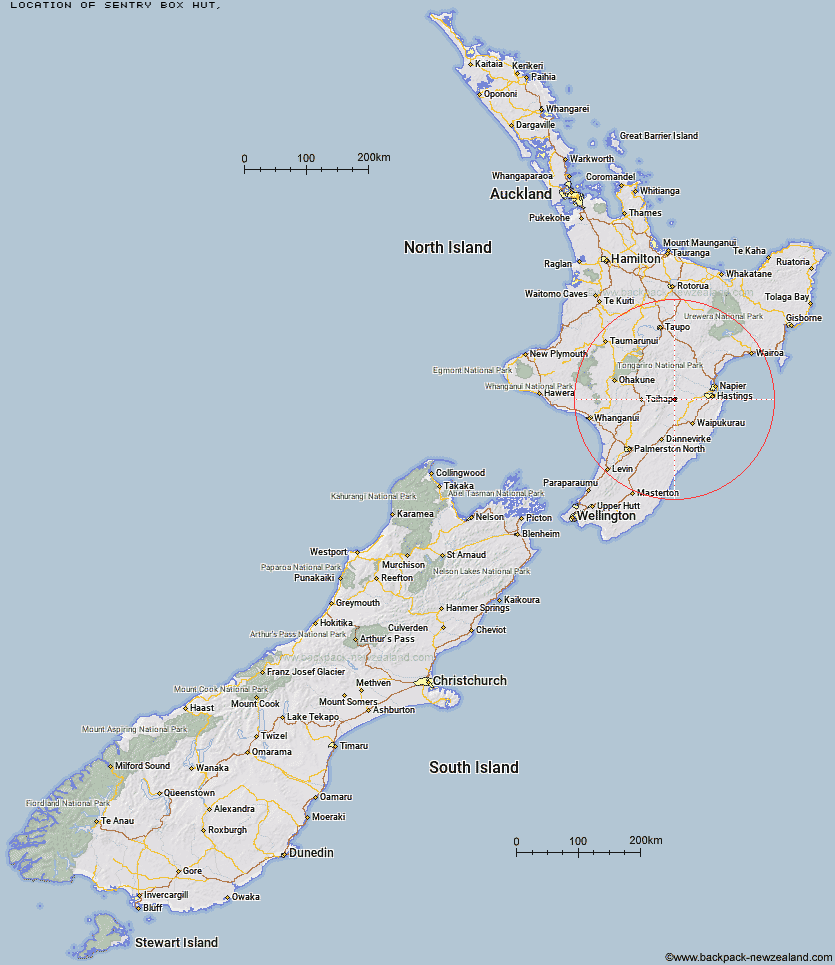
Topo Map showing location of Sentry Box Hut
This information is sourced from DoC, LINZ and Openstreetmap. Some of the hut photos are mine and the rest are from DoC. I will be adding an upload feature soon so people can photos of .Sentry Box Hut.
Latitude: -39.6687255609
Longitude: 176.281110564
Location:
Type of Hut:
Map: Topo Map | Road Map
Does this hut still exist? Have any more information? Contact
Latitude: -39.6687255609
Longitude: 176.281110564
Location:
Type of Hut:
Map: Topo Map | Road Map
Does this hut still exist? Have any more information? Contact
Scroll down to see a topographical map and road map showing the location of Sentry Box Hut
[ A ] [ B ] [ C ] [ D ] [ E ] [ F ] [ G ] [ H ] [ I ] [ J ] [ K ] [ L ] [ M ] [ N ] [ O ] [ P ] [ Q ] [ R ] [ S ] [ T ] [ U ] [ V ] [ W ] [ Y ] [ Z ]
Closest 20 Huts to Sentry Box Hut
These are as the crow fliesSentry Box Hut 0km Parks Peak Hut 2.79km Tin Hut 4.44km Aranga Hut 4.49km Upper Makaroro Hut 4.69km Ellis Hut 5.03km Briens Hut 5.12km Masters Shelter 5.64km Kylie Bivouac 7.09km Mistake Bivouac 7.1km Poutaki Hut 7.17km Rockslide Hut 7.62km Barlow Hut 7.79km No Mans Hut 9.77km Herricks Hut 10.01km Dead Dog Hut 10.17km Ruahine Corner Hut 10.24km Ikawetea Forks Hut 11.3km Sparrowhawk Bivouac 11.63km Norris Hut 11.7km Colenso Hut 12.02km Gold Creek Hut 12.6km Ruahine Hut 12.98km Makirikiri Hut 13.9km Maropea Forks Hut 13.96km Dianes Hut 14.06km Taruarau Bivouac 14.19km Triplex Hut 15.57km Top Maropea Hut 15.78km Wakelings Hut 16.09km Iron Bark Hut 16.2km Sunrise Hut 16.37km Waipawa Forks Hut 17.06km Otukota Hut 17.13km Shutes Hut 17.48km Crow Hut 20.01km Waikamaka Hut 20.27km McKinnon Hut 20.29km Cedars Hut (Blowfly) 21.97km Smiths Stream Hut 22.18km