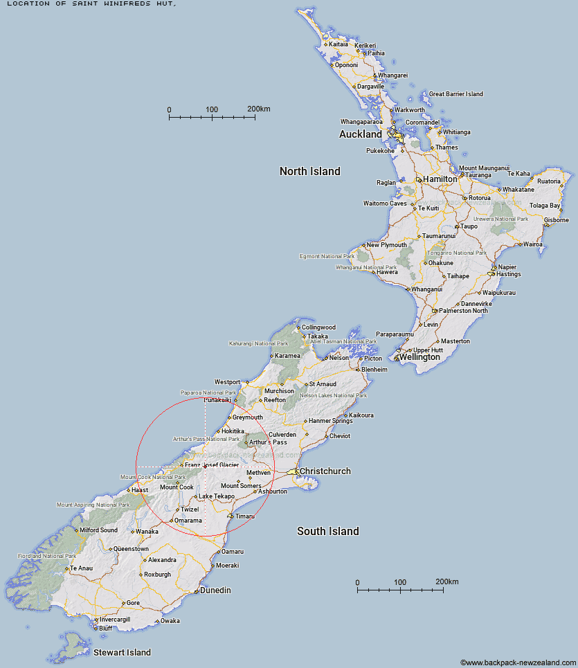
Topo Map showing location of Saint Winifreds Hut
This information is sourced from DoC, LINZ and Openstreetmap. Some of the hut photos are mine and the rest are from DoC. I will be adding an upload feature soon so people can photos of .Saint Winifreds Hut.
Latitude: -43.4170570075
Longitude: 170.683107226
Location:
Type of Hut:
Map: Topo Map | Road Map
Does this hut still exist? Have any more information? Contact
Latitude: -43.4170570075
Longitude: 170.683107226
Location:
Type of Hut:
Map: Topo Map | Road Map
Does this hut still exist? Have any more information? Contact
Scroll down to see a topographical map and road map showing the location of Saint Winifreds Hut
[ A ] [ B ] [ C ] [ D ] [ E ] [ F ] [ G ] [ H ] [ I ] [ J ] [ K ] [ L ] [ M ] [ N ] [ O ] [ P ] [ Q ] [ R ] [ S ] [ T ] [ U ] [ V ] [ W ] [ Y ] [ Z ]
Closest 20 Huts to Saint Winifreds Hut
These are as the crow fliesMistake Flats Hut 3.58km Curtis Memorial Hut 4.58km Murphys Bivvy 5.66km Forbes Bivouac 6.02km Watchdog Hut 8.56km McCoy Hut 8.62km Carneys Bivvy's 8.96km Scone Hut 10.28km Growler Hut 11.36km Erewhon Station Hut 13.78km Godley Hut 15.62km Lawrence Hut 16.31km Black Mountain Hut 17.64km Nolans Hut 17.95km Hermitage Hut 18.26km Macaulay Hut 19.27km Top Butler Hut 19.61km Eade Memorial Hut 19.83km Red Stag Hut 19.99km Lawrence Bivouac 20.54km Dog Kennel Bivouac 21.2km Butler Junction Hut 21.73km Hunters Hut 21.89km Lyell Hut 22.53km Stan's Hut 23.67km Crooked Spur Hut 24.55km Potts Hut 24.63km Whymper Hut 25.31km Murchison Hut 25.89km Rankin Hut 26.53km Smyth Hut 26.74km Reischek Hut 27.37km Cameron Hut 27.63km Top Hut 27.93km Lauper Bivouac 28.16km Stony Stream Hut 28.36km Kelman Hut 28.37km Tasman Saddle Hut 29.56km Scamper Torrent Hut 29.61km Stone Hut 30.78km