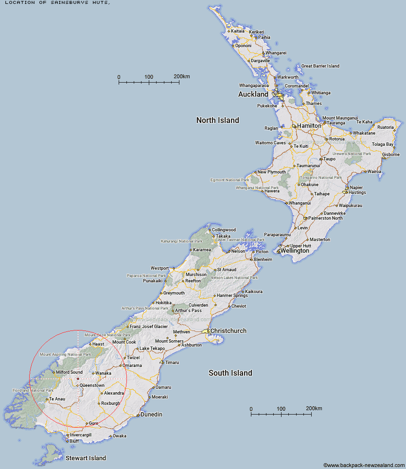
Topo Map showing location of Sainsburys Huts
This information is sourced from DoC, LINZ and Openstreetmap. Some of the hut photos are mine and the rest are from DoC. I will be adding an upload feature soon so people can photos of .Sainsburys Huts.
Latitude: -44.850488847
Longitude: 168.675838097
Location:
Type of Hut:
Map: Topo Map | Road Map
Does this hut still exist? Have any more information? Contact
Latitude: -44.850488847
Longitude: 168.675838097
Location:
Type of Hut:
Map: Topo Map | Road Map
Does this hut still exist? Have any more information? Contact
Scroll down to see a topographical map and road map showing the location of Sainsburys Huts
[ A ] [ B ] [ C ] [ D ] [ E ] [ F ] [ G ] [ H ] [ I ] [ J ] [ K ] [ L ] [ M ] [ N ] [ O ] [ P ] [ Q ] [ R ] [ S ] [ T ] [ U ] [ V ] [ W ] [ Y ] [ Z ]
Closest 20 Huts to Sainsburys Huts
These are as the crow fliesCrystal Hut 2.29km Peats Hut 4.2km Green Gate Huts 5.51km Dynamo Hut 5.57km Archie's Hut - Copper Creek 6.77km Stoney Creek Hut 6.96km Bullendale Hut 7km Butchers Hut 9.59km Ballarat Hut - Flood Burn 11.16km Eight Mile Hut 13.63km Wallers Hut 15.13km Kelly's Hut 15.23km Roses Hut 15.6km Heather Jock Hut 17.36km McIntosh Hut 17.43km Bonnie Jean Hut 17.89km Jean Hut 18.12km McIntyre's Hut 18.31km Cabin Hut 19.06km Shiel Burn Hut 19.44km Sixteen Mile Huts 19.88km Highland Creek Hut 22.63km Polnoon Hut 22.8km Sam Summers Hut 24.69km Hundred Mile Hut 26.99km Fern Burn Hut 27.28km Twenty Five Mile Hut 28.42km Lochnagar Hut 28.67km Saddle Hut 29.05km Black Peak Hut 30.5km Glen Roy Raceman's Hut 30.6km Meg Hut 30.85km Earnslaw Hut 31.18km Tummel Burn Hut 31.35km Mid Caples Hut 32.07km Home Hill Hut 32.09km Esquilant Bivvy Hut 33.68km Slip Flat Hut 33.75km Kay Creek Hut 34.35km Routeburn Shelter 34.62km