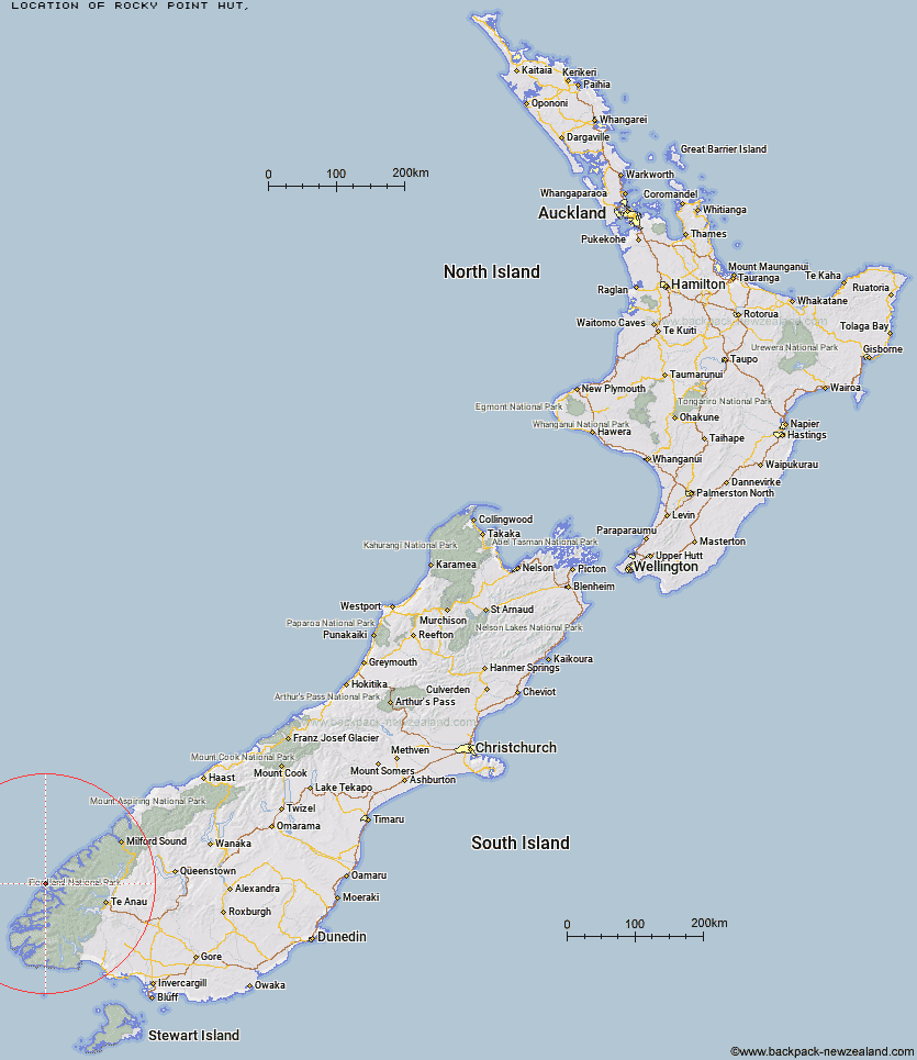
Topo Map showing location of Rocky Point Hut
This information is sourced from DoC, LINZ and Openstreetmap. Some of the hut photos are mine and the rest are from DoC. I will be adding an upload feature soon so people can photos of .Rocky Point Hut.
Latitude: -45.191678159
Longitude: 166.908100541
Location:
Type of Hut:
Map: Topo Map | Road Map
Does this hut still exist? Have any more information? Contact
Latitude: -45.191678159
Longitude: 166.908100541
Location:
Type of Hut:
Map: Topo Map | Road Map
Does this hut still exist? Have any more information? Contact
Scroll down to see a topographical map and road map showing the location of Rocky Point Hut
[ A ] [ B ] [ C ] [ D ] [ E ] [ F ] [ G ] [ H ] [ I ] [ J ] [ K ] [ L ] [ M ] [ N ] [ O ] [ P ] [ Q ] [ R ] [ S ] [ T ] [ U ] [ V ] [ W ] [ Y ] [ Z ]
Closest 20 Huts to Rocky Point Hut
These are as the crow fliesStantley Burn Hut 3.73km Deas Cove Hut 5.22km The Gut Hut 12.16km Robin Saddle Hut 34.81km Caswell Sound Hut 35.27km Freeman Burn Hut 46.19km West Arm Hut 46.35km Junction Burn Hut 46.47km Upper Spey Hut 47.58km George Sound Hut 47.73km Kintail Hut 49.75km Iris Burn Hut 52.39km Lake Thomson Hut 52.7km Hanging Valley Shelter 53.54km Lake Hankinson Hut 54.05km Percy Shelter 54.83km Loch Maree Hut 56.2km Forest Burn Shelter 56.39km Supper Cove Hut 56.84km Luxmore Hut 59.65km Lake Roe Hut 59.81km Moturau Hut 63.68km Brod Bay Shelter and Campsite 64.46km Shallow Bay Hut 64.47km Glaisnock Hut 65.54km Halfway Hut 65.77km Hope Arm Hut 66.38km Back Valley Hut 69.5km Borland Bivouac 70.86km North Borland Hut 71.09km Historic Clark Hut 73.28km Hauroko Burn Hut 73.42km Clark Hut - A Frame 74.5km Green Lake Hut 76.36km Worsley Hut 77.77km Monowai Hut 79.3km Quintin Lodge 80km Pompolona Lodge 80.47km Bus Stop Shelter 80.51km Mintaro Hut 80.75km