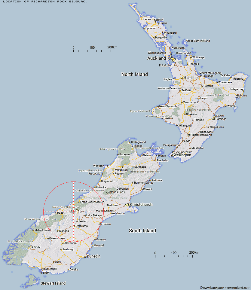
Topo Map showing location of Richardson Rock Bivouac
This information is sourced from DoC, LINZ and Openstreetmap. Some of the hut photos are mine and the rest are from DoC. I will be adding an upload feature soon so people can photos of .Richardson Rock Bivouac.
Latitude: -43.8266593218
Longitude: 169.919881642
Location:
Type of Hut:
Map: Topo Map | Road Map
Does this hut still exist? Have any more information? Contact
Latitude: -43.8266593218
Longitude: 169.919881642
Location:
Type of Hut:
Map: Topo Map | Road Map
Does this hut still exist? Have any more information? Contact
Scroll down to see a topographical map and road map showing the location of Richardson Rock Bivouac
[ A ] [ B ] [ C ] [ D ] [ E ] [ F ] [ G ] [ H ] [ I ] [ J ] [ K ] [ L ] [ M ] [ N ] [ O ] [ P ] [ Q ] [ R ] [ S ] [ T ] [ U ] [ V ] [ W ] [ Y ] [ Z ]
Closest 20 Huts to Richardson Rock Bivouac
These are as the crow fliesErceg Hut 2.3km Waterfall Hut 5.6km Reardon Hut 6.89km Kennedy Hut 6.9km Dodger Hut 8.38km Barron Saddle Hut 9.92km Grough Hut 12.06km Christmas Flat Hut 12.1km Cullers Hut 12.54km Elcho Hut 13.68km Lame Duck Hut 13.99km Harpers Rock Bivouac 14.2km Horace Walker Hut 15.34km Dasler Bivouac 15.59km Station Hut 16.15km Mueller Hut 16.56km Whale Stream Hut 18.88km Sefton Bivvy 19.87km Cassel Flat Hut 20.14km Stocking Stream Shelter 20.15km Red Hut 20.34km Stony Stream Bivouac 20.77km Douglas Rock Hut 20.87km Le Crens Hut 20.89km Creswicke Flat Hut 21.39km Welcome Flat Campsite 21.92km Welcome Flat Hut 21.93km Brodrick Hut 22.5km Jollie Hut 22.55km Monument Hut 23.58km Copland Shelter 23.88km Architect Creek Hut 24.11km Main Huxley Forks Hut 24.57km Green Point Hut 25.98km South Huxley Bivouac 28.31km Caroline Hut 29.28km Littles Hut 29.46km Maryburn Hut 29.98km Empress Hut 30.48km Tunnel Creek Hut 30.73km