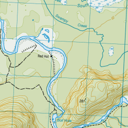
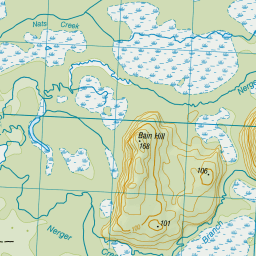
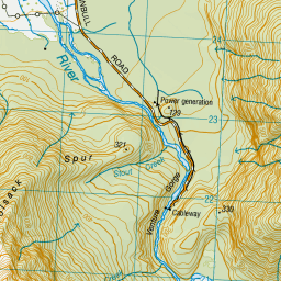
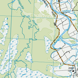
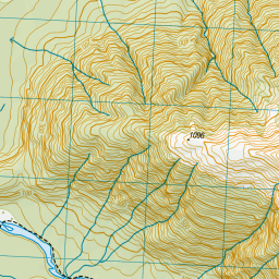
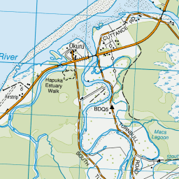
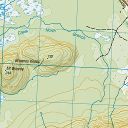
Topo Map showing location of Red Hut
This information is sourced from DoC, LINZ and Openstreetmap. Some of the hut photos are mine and the rest are from DoC. I will be adding an upload feature soon so people can photos of .Red Hut.
Basic info: This historic hut is set on a river fan of the Hopkins, with surrounding beech forest, in Ruataniwha Conservation Park. Built in 1916 for commercial guiding to the Barren Saddle by, Red Hut was used mainly as a mustering hut by the Huxley Gorge Station.
Latitude: -43.9435265047
Longitude: 168.987362268
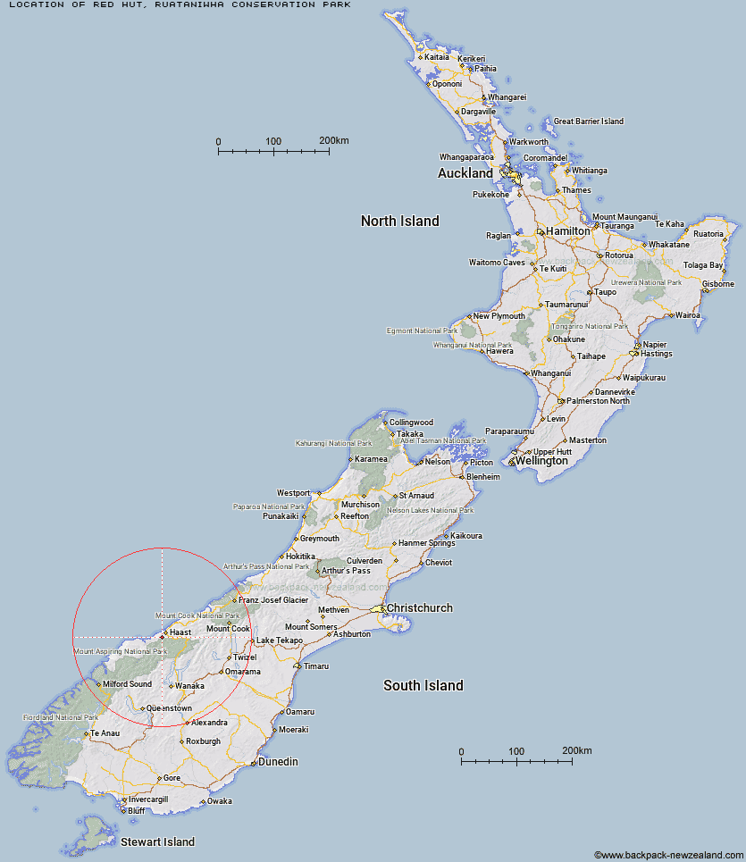
Location: Ruataniwha Conservation Park
Area: Canterbury
Type of Hut: Standard
Tracks: Hopkins valley tracks
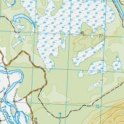
Map: BY14 Topo Map | Road Map
Does this hut still exist? Have any more information? Contact
Basic info: This historic hut is set on a river fan of the Hopkins, with surrounding beech forest, in Ruataniwha Conservation Park. Built in 1916 for commercial guiding to the Barren Saddle by, Red Hut was used mainly as a mustering hut by the Huxley Gorge Station.
Latitude: -43.9435265047
Longitude: 168.987362268
Location: Ruataniwha Conservation Park
Area: Canterbury
Type of Hut: Standard
Tracks: Hopkins valley tracks
Map: BY14 Topo Map | Road Map
Does this hut still exist? Have any more information? Contact
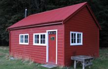
Image: DoC
Scroll down to see a topographical map and road map showing the location of Red Hut
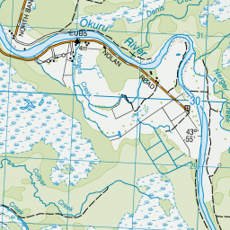
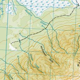
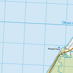
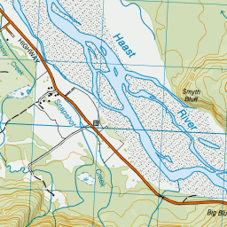
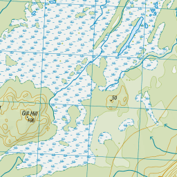
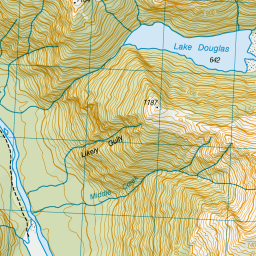

Leaflet | Sourced from LINZ. CC BY 4.0


Leaflet | Map data © OpenStreetMap contributors
[ A ] [ B ] [ C ] [ D ] [ E ] [ F ] [ G ] [ H ] [ I ] [ J ] [ K ] [ L ] [ M ] [ N ] [ O ] [ P ] [ Q ] [ R ] [ S ] [ T ] [ U ] [ V ] [ W ] [ Y ] [ Z ]
Closest 20 Huts to Red Hut
These are as the crow fliesFranklin Hut 12.81km Thomas River Hut 17.53km Coppermine Creek Hut 19.75km Young Hut 26.97km Maori Saddle Hut 27.1km Roaring Billy Hut 27.41km Siberia Hut 29.65km Kerin Forks Hut 33.11km Blue River (Blowfly) Hut 33.28km Stafford Hut 35.87km Horseshoe Flat Hut 37.3km Top Forks Hut 37.58km Brewster Hut 37.58km Cameron Hut 38.68km Wills Hut 39.39km Middle Head Hut 39.78km Makarora Hut 41.7km Craigie Burn Hut 44.4km Albert Burn Hut 44.46km Tunnel Creek Hut 46.19km Big Hopwood Burn Hut 48.15km Ferguson Hut 49.08km Scrubby Hut 49.45km Bull Flat Hut 50.05km Boundary Hut 50.57km Little Boundary Hut 50.77km Forbes Hut 51.92km Green Bush Hut 52.09km High Burn Hut 52.83km Colin Todd Hut 53.07km Rock of Ages Bivouac 54.26km Creswicke Flat Hut 56.22km Sawyer Burn Hut 56.74km Hagens Hut 57.21km Top Hut 57.7km Scotts Rock Bivouac 58.29km Shamrock Hut 58.62km French Ridge Hut 58.8km Top Dingle Hut 58.88km Spoon Hut 59.41km