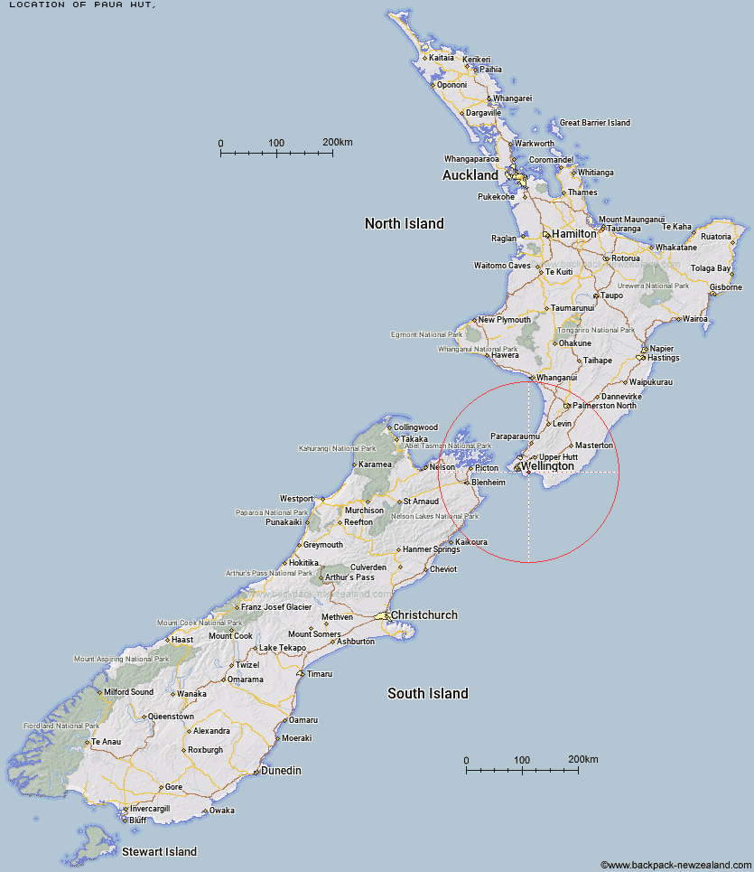
Topo Map showing location of Paua Hut
This information is sourced from DoC, LINZ and Openstreetmap. Some of the hut photos are mine and the rest are from DoC. I will be adding an upload feature soon so people can photos of .Paua Hut.
Latitude: -41.3488349964
Longitude: 174.965332053
Location:
Type of Hut:
Map: Topo Map | Road Map
Does this hut still exist? Have any more information? Contact
Latitude: -41.3488349964
Longitude: 174.965332053
Location:
Type of Hut:
Map: Topo Map | Road Map
Does this hut still exist? Have any more information? Contact
Scroll down to see a topographical map and road map showing the location of Paua Hut
[ A ] [ B ] [ C ] [ D ] [ E ] [ F ] [ G ] [ H ] [ I ] [ J ] [ K ] [ L ] [ M ] [ N ] [ O ] [ P ] [ Q ] [ R ] [ S ] [ T ] [ U ] [ V ] [ W ] [ Y ] [ Z ]
Closest 20 Huts to Paua Hut
These are as the crow fliesBoar Inn 0.49km Waerenga Hut 1.17km Jans Hut 1.63km Haurangi Hut 3.5km Papatahi Hut 5.33km Barneys Whare 7.91km Wharepapa Hut 9.58km Waiorongomai Hut 15.63km Tauanui Hut 28.68km Washpool Hut 30.78km Sutherlands Hut 32.05km Pararaki Hut 32.99km Kawakawa Hut 34.02km Mangatoetoe Hut 35.45km Smith Creek Shelter 41.92km Eastern Hutt Hut 44.53km Renata Hut 45.73km Elder Hut 47.51km Tutuwai Hut 48.22km Alpha Hut 48.29km Waiotauru Hut 49.15km Kapakapanui Hut 50.6km Cone Hut 51.24km Kime Hut 51.92km Waiohine Shelter 52.05km Field Hut 54.76km Penn Creek Hut 56.54km Neill Forks Hut 56.67km Sayer Hut 57.37km Maungahuka Hut 57.53km Totara Flats Hut 59.04km Aokaparangi Hut 60.64km Mid Waiohine Hut 63.27km Mountain House Shelter 63.85km Waitewaewae Hut 64.28km Powell Hut 64.34km Anderson Memorial Hut 64.75km Atiwhakatu Hut 67.33km Jumbo Hut 67.85km McGregor Bivouac 68.47km