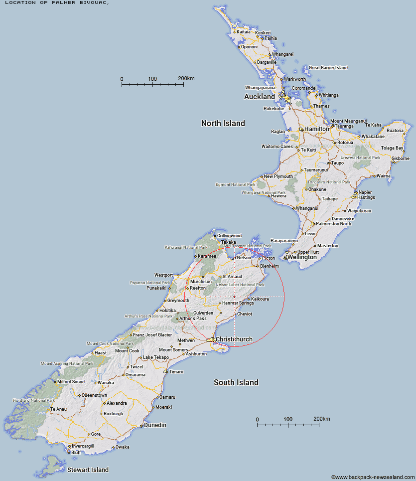
Topo Map showing location of Palmer Bivouac
This information is sourced from DoC, LINZ and Openstreetmap. Some of the hut photos are mine and the rest are from DoC. I will be adding an upload feature soon so people can photos of .Palmer Bivouac.
Latitude: -42.3366492768
Longitude: 173.256586011
Location:
Type of Hut:
Map: Topo Map | Road Map
Does this hut still exist? Have any more information? Contact
Latitude: -42.3366492768
Longitude: 173.256586011
Location:
Type of Hut:
Map: Topo Map | Road Map
Does this hut still exist? Have any more information? Contact
Scroll down to see a topographical map and road map showing the location of Palmer Bivouac
[ A ] [ B ] [ C ] [ D ] [ E ] [ F ] [ G ] [ H ] [ I ] [ J ] [ K ] [ L ] [ M ] [ N ] [ O ] [ P ] [ Q ] [ R ] [ S ] [ T ] [ U ] [ V ] [ W ] [ Y ] [ Z ]
Closest 20 Huts to Palmer Bivouac
These are as the crow fliesPalmer Hut 5.15km Alfred Hut 7.68km Cloudy Hut 8.59km Stone Jug Hut 10.84km Half Moon Hut 11.64km Kahutara Bivouac 12.45km Black Spur Historic Hut 15.5km Tent Poles Hut 16.09km Warden Hut 16.29km Guide Hut 17.18km Lake McRae Hut 17.23km Seymour Hut 17.3km Yarra Hut 22.02km Limestone Hut 23.55km Acheron Hut 26.79km Mt Fyffe Hut 27.73km Kowhai Hut 28.15km Red Gate Hut 28.23km Dubious Bivouac 28.48km Carters Yards Hut 30.33km Goose Flat Hut 31.82km Saxton Hut 32.42km Hapuku Hut 33.25km Junction Hut 33.93km Munroe Hut 35.37km Fidgit Bivouac 35.5km Severn Hut 35.52km Barratts Hut 35.66km Barratts Bivouac 35.71km Team Hut 35.85km Sedgemere Sleepout 36.92km Fowlers Hut 40.5km Island Gully Hut 41.28km Burnt Yards Hut 41.54km Top Leatham Hut 42.9km Ravine Hut 43.16km Haycocks Bivouac 43.63km Branch Bivouac 45.25km Top Gordon Hut 45.31km Jam Hut 46.31km