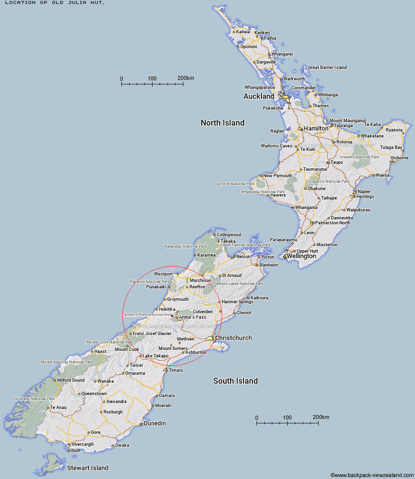
Topo Map showing location of Old Julia Hut
This information is sourced from DoC, LINZ and Openstreetmap. Some of the hut photos are mine and the rest are from DoC. I will be adding an upload feature soon so people can photos of .Old Julia Hut.
Latitude: -42.8979143586
Longitude: 171.425384479
Location:
Type of Hut:
Map: Topo Map | Road Map
Does this hut still exist? Have any more information? Contact
Latitude: -42.8979143586
Longitude: 171.425384479
Location:
Type of Hut:
Map: Topo Map | Road Map
Does this hut still exist? Have any more information? Contact
Scroll down to see a topographical map and road map showing the location of Old Julia Hut
[ A ] [ B ] [ C ] [ D ] [ E ] [ F ] [ G ] [ H ] [ I ] [ J ] [ K ] [ L ] [ M ] [ N ] [ O ] [ P ] [ Q ] [ R ] [ S ] [ T ] [ U ] [ V ] [ W ] [ Y ] [ Z ]
Closest 20 Huts to Old Julia Hut
These are as the crow fliesJulia Hut 0.07km Mudflats Hut 5.31km Mid Taipo Hut 5.52km Waimakariri Falls Hut 5.53km Campbell Bivouac 5.66km Dunns Creek Hut 7.03km Carrington Hut 7.14km Newton Creek Hut 7.4km Harman Hut 8.79km Hunts Creek Hut 8.89km Crow Hut 9.02km Scottys Bivouac 10.15km Barker Hut 10.37km Park Morpeth Hut 10.66km Grassy Flat Hut 10.88km Top Olderog Bivouac 10.92km Jacks Hut 11.13km Lower Arahura Hut 11.18km Griffin Creek Hut 11.66km Lower Olderog Bivouac 11.78km Browning Range Bivouac 12.28km Rocky Creek Bivouac 12.46km Top Crawford Hut 12.64km Newton Range Bivouac 12.67km Anti Crow Hut 13.3km Dillon Hut 13.41km Dillons Homestead Hut 13.62km Mid Styx Hut 14.69km Upper Deception Hut 15.69km Carroll Hut 15.79km Goat Pass Hut 16.25km Greyneys Shelter 16.5km Mingha Bivouac 16.89km Crawford Junction Hut 17.03km Avoca Hut 17.27km Urquhart's Hut 17.52km Klondyke Shelter 17.67km Mt Brown Hut 18.63km Weka Burnet Bivouac 18.66km Edwards Hut 18.77km