Topo Map showing location of Ohane Hut
This information is sourced from DoC, LINZ and Openstreetmap. Some of the hut photos are mine and the rest are from DoC. I will be adding an upload feature soon so people can photos of .Ohane Hut.
Basic info: standard six-bunk hut in the Te Urewera area.
Latitude: -38.3993689006
Longitude: 177.033556095
Location: Te Urewera
Area: East Coast
Type of Hut: Standard
Map: BF40 Topo Map | Road Map
Does this hut still exist? Have any more information? Contact
Basic info: standard six-bunk hut in the Te Urewera area.
Latitude: -38.3993689006
Longitude: 177.033556095
Location: Te Urewera
Area: East Coast
Type of Hut: Standard
Map: BF40 Topo Map | Road Map
Does this hut still exist? Have any more information? Contact
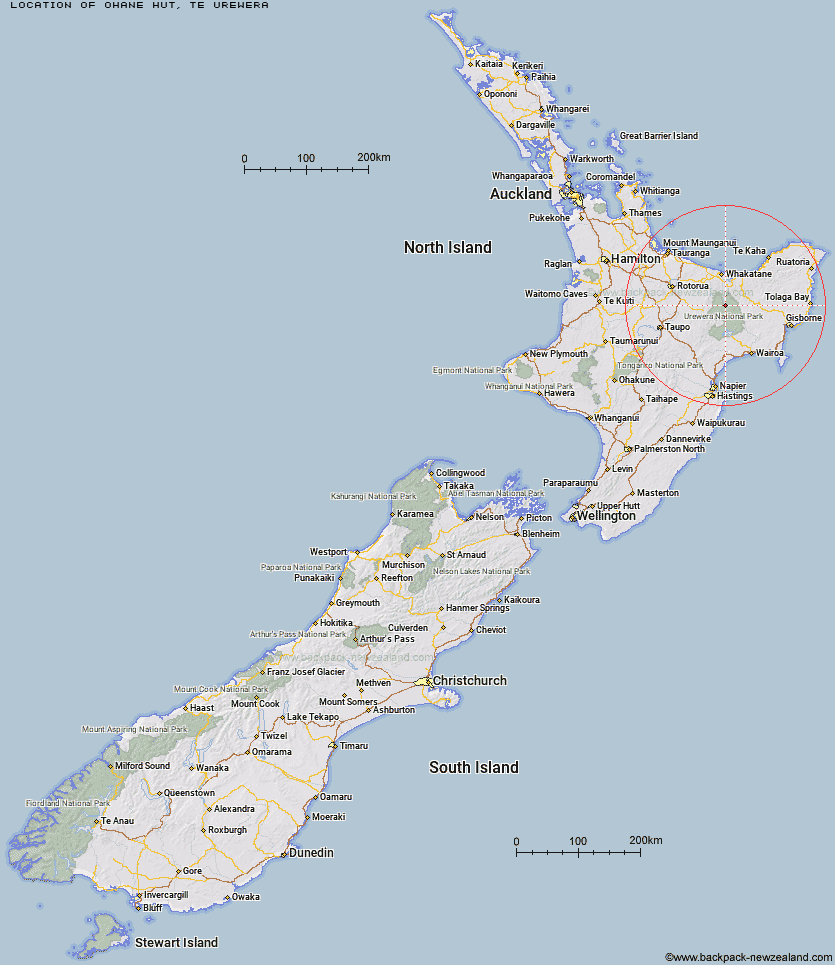
Scroll down to see a topographical map and road map showing the location of Ohane Hut
[ A ] [ B ] [ C ] [ D ] [ E ] [ F ] [ G ] [ H ] [ I ] [ J ] [ K ] [ L ] [ M ] [ N ] [ O ] [ P ] [ Q ] [ R ] [ S ] [ T ] [ U ] [ V ] [ W ] [ Y ] [ Z ]
Closest 20 Huts to Ohane Hut
These are as the crow fliesWaikare Junction Hut 2.83km Te Pourewa Hut 6.96km Hanamahihi Hut 7.33km Te Panaa Hut 8.88km Onepu Hut 8.98km Takurua Hut 9.31km Ohora Hut 9.57km Otapukawa Hut 10.09km Manaohou Right Branch Hut 10.21km Otanetea Hut 10.29km Ngahiramai Hut 11.43km Te Pua Hut 11.66km Otane Hut 13.01km Tawhiwhi Hut 13.13km Taurawharona Hut 13.8km Duckville Hut 14.09km Koaunui Hut 14.22km Casino Hut 14.43km Apiti Hut 14.44km Saddle (Mangaawai) Hut 16.09km Wharekahika Hut 16.69km Mangamako Hut 16.83km Makomako Hut 17.33km Tataweka Hut 17.39km Horomanga Base Camp 18.01km Twain (Waipotiki) Hut 18.25km Mangatoatoa Hut 18.43km Waiawa Hut 18.47km Waihua Hut 18.56km Te Rangaakapua Hut 20.11km Tawa Hut 20.32km Makakoere Hut 20.69km Koranga Forks Hut 22.14km Kanohirua Hut 22.59km Nikau Flat Hut 22.92km Kahunui Hut 23km Mangapouri Hut 23.26km Okui Hut 25.59km Kotepato Hut 26.65km Manuoha Hut 29.54km