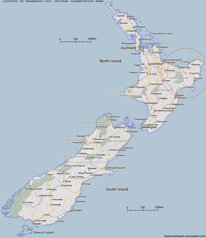
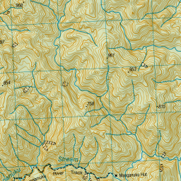
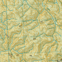
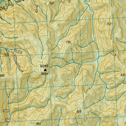
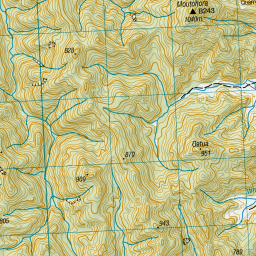
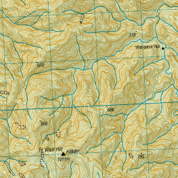
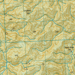
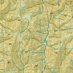
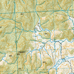
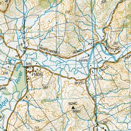
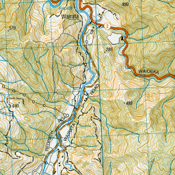
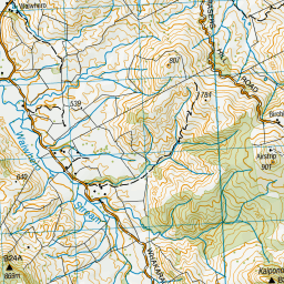
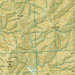
Topo Map showing location of Manganuku Hut
This information is sourced from DoC, LINZ and Openstreetmap. Some of the hut photos are mine and the rest are from DoC. I will be adding an upload feature soon so people can photos of .Manganuku Hut.
Basic info: This hut has 6 bunks, and an open fire place. Water is from the nearby river.
Latitude: -38.2718324019
Longitude: 177.43544643
Location: Urutawa Conservation Area
Area: East Coast
Type of Hut: Basic/bivvies
Tracks: Manganuku Track
Map: BF41 Topo Map | Road Map
Does this hut still exist? Have any more information? Contact
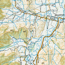
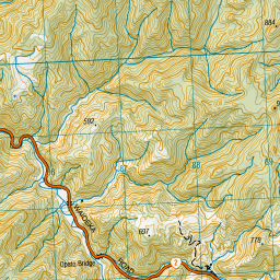
Scroll down to see a topographical map and road map showing the location of Manganuku Hut
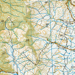
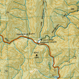
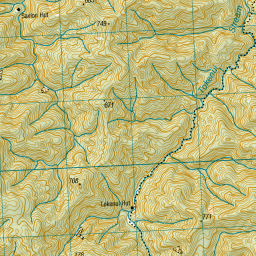
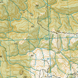
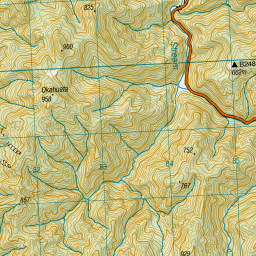


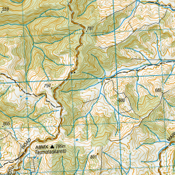
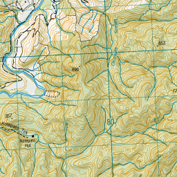
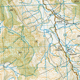

Leaflet | Sourced from LINZ. CC BY 4.0


Leaflet | Map data © OpenStreetMap contributors
[ A ] [ B ] [ C ] [ D ] [ E ] [ F ] [ G ] [ H ] [ I ] [ J ] [ K ] [ L ] [ M ] [ N ] [ O ] [ P ] [ Q ] [ R ] [ S ] [ T ] [ U ] [ V ] [ W ] [ Y ] [ Z ]
Closest 20 Huts to Manganuku Hut
These are as the crow fliesTokenui Hut 6.2km Wahaatua Hut 6.6km Pakihi Heads Hut 7.04km Savlon Hut 9.55km Pakihi Hut 11.65km Kotepato Hut 11.67km Te Waiti Hut 11.92km Brills Bivouac 12.67km Lagoon Hut 13.67km Nikau Flat Hut 15.7km Hastings Hut 16.18km Koranga Forks Hut 19km Tawa Hut 23.48km Koaunui Hut 23.66km Kahunui Hut 26.93km Tataweka Hut 28.01km Makakoere Hut 28.13km Otapukawa Hut 28.36km Otane Hut 29.89km Onepu Hut 32.82km Te Pourewa Hut 32.96km Te Pua Hut 34.05km Te Rangaakapua Hut 34.28km Wharekahika Hut 35.08km Mangaotane Hut (McMillans) 35.31km Mangakirikiri Hut 35.74km Te Panaa Hut 35.94km Ohora Hut 36.74km Mangatoatoa Hut 36.83km Ohane Hut 37.81km Makomako Hut 39.74km Waikare Junction Hut 39.99km Taurawharona Hut 40.46km Apiti Hut 41.08km Otanetea Hut 41.23km Twain (Waipotiki) Hut 42.45km Saddle (Mangaawai) Hut 43.26km Takurua Hut 43.97km Hanamahihi Hut 45.11km Casino Hut 46.21km