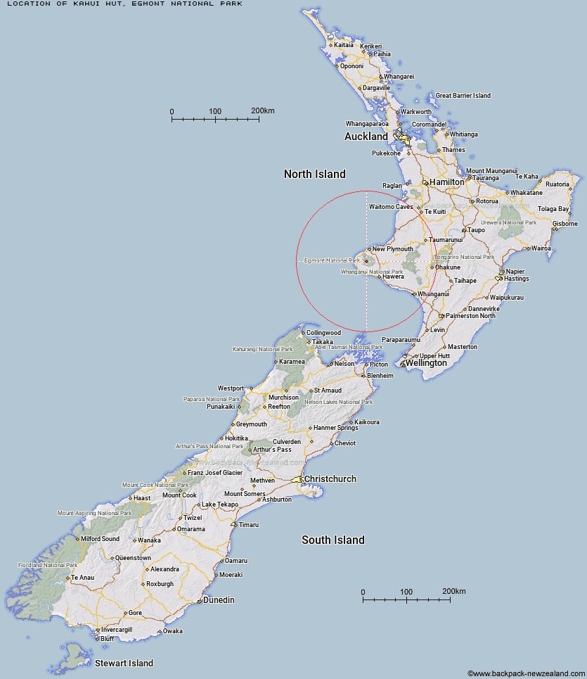
Topo Map showing location of Kahui Hut
This information is sourced from DoC, LINZ and Openstreetmap. Some of the hut photos are mine and the rest are from DoC. I will be adding an upload feature soon so people can photos of .Kahui Hut.
Basic info: Located on Mt Taranaki's western slopes, Kahui Hut sits in a small clearing surrounded by native bush.
Latitude: -39.2941543276
Longitude: 174.014561928
Location: Egmont National Park
Area: Taranaki
Type of Hut: Standard
Tracks: West Egmont tramping tracks
Map: Topo Map | Road Map
Does this hut still exist? Have any more information? Contact

Image: DoC
Scroll down to see a topographical map and road map showing the location of Kahui Hut
[ A ] [ B ] [ C ] [ D ] [ E ] [ F ] [ G ] [ H ] [ I ] [ J ] [ K ] [ L ] [ M ] [ N ] [ O ] [ P ] [ Q ] [ R ] [ S ] [ T ] [ U ] [ V ] [ W ] [ Y ] [ Z ]
Closest 20 Huts to Kahui Hut
These are as the crow fliesKahui Hut 0km Waiaua Gorge Hut 3.58km Holly Hut 4.31km Syme Hut 4.74km Waiweranui Trust Hut 5.72km Lake Dive Hut 6.13km Hooker Shelter 6.82km Pouakai Hut 6.85km Maketawa Hut 7.4km Kaiauai Shelter 8.59km Waingongoro Hut 8.69km Trains Hut 64.86km Omaru Hut 65.68km Tahupo Hut 67.13km Puteore Hut 67.19km Pouri Hut 72.14km Rerekapa Hut 72.91km Ngapurua Hut 77.35km John Coull Hut 77.68km Puketotara Hut 82.98km Tieke Kainga 84.32km Ohuraiti Hut 92.09km Downes hut 107.19km Leitchs Hut 116.47km Ten Man Hut 127.37km Mangaturuturu Hut 127.98km Whakapapaiti Hut 129.55km Lupton Hut 129.77km Blyth Hut 130.02km Mangaehuehu Hut 132.2km Whangaehu Hut 135.47km Mangatepopo Hut 137.3km Rangipo Hut 138.48km Ketetahi Shelter 142.69km Old Waihohonu Hut 143.08km Hauhungaroa Hut 143.31km Waihohonu Hut 143.7km Oturere Hut 145.03km Hamilton Tomo Group Hut 148.63km Zekes Hut 151.32km