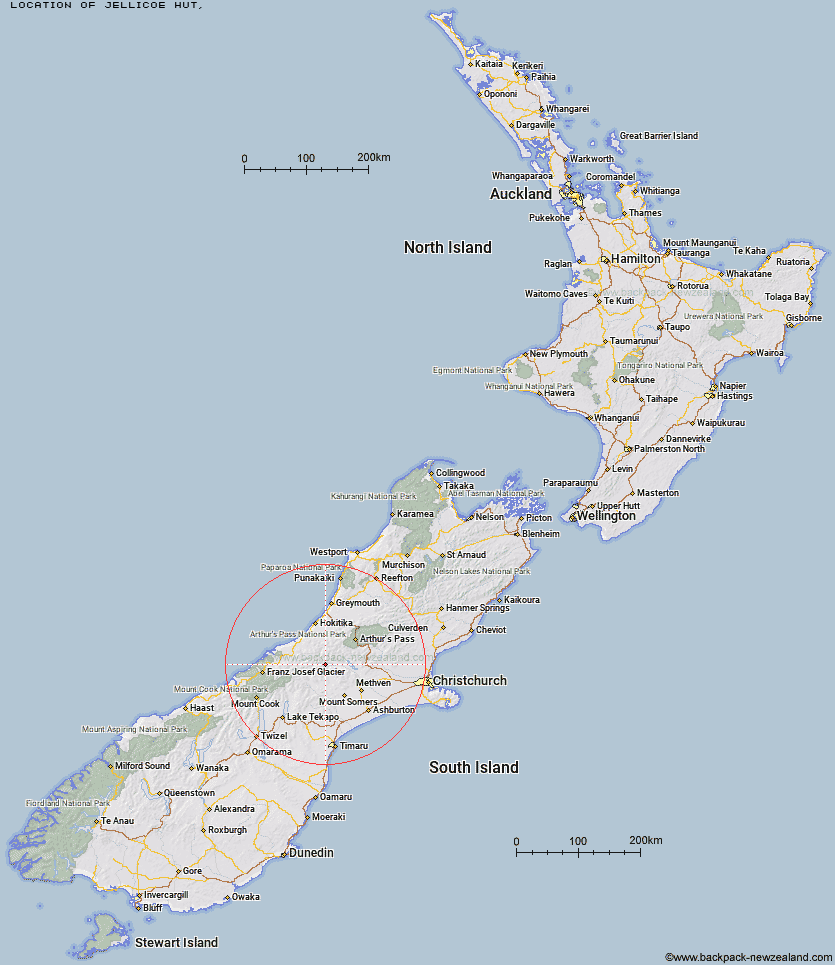
Topo Map showing location of Jellicoe Hut
This information is sourced from DoC, LINZ and Openstreetmap. Some of the hut photos are mine and the rest are from DoC. I will be adding an upload feature soon so people can photos of .Jellicoe Hut.
Latitude: -43.2810048153
Longitude: 171.114920252
Location:
Type of Hut:
Map: Topo Map | Road Map
Does this hut still exist? Have any more information? Contact
Latitude: -43.2810048153
Longitude: 171.114920252
Location:
Type of Hut:
Map: Topo Map | Road Map
Does this hut still exist? Have any more information? Contact
Scroll down to see a topographical map and road map showing the location of Jellicoe Hut
[ A ] [ B ] [ C ] [ D ] [ E ] [ F ] [ G ] [ H ] [ I ] [ J ] [ K ] [ L ] [ M ] [ N ] [ O ] [ P ] [ Q ] [ R ] [ S ] [ T ] [ U ] [ V ] [ W ] [ Y ] [ Z ]
Closest 20 Huts to Jellicoe Hut
These are as the crow fliesThompsons Hut 3.85km Banfield Hut 5.15km Downs Hut 5.81km Evans Hut 7.2km Washbourne Hut 7.69km Mathias Hut 10.52km Centennial Cabin 11.09km Moraine Hut 11.46km Lauper Bivouac 12.2km Reischek Hut 12.21km Charlies Hut 12.23km Cameron Hut 12.37km West Mathias Bivouac 12.89km Highland Home 15.31km Neave Hut 15.49km Lyell Hut 16.73km Top Hut 17.03km Wilkinson Hut 17.14km Lawrence Bivouac 17.53km Canyon Creek Bivouac 19.53km Moa Stream Hut 20.61km Price Basin Hut 20.7km Price Flat Hut 20.91km Price Flat Hut 21.13km Hermitage Hut 21.44km Frew Saddle Bivouac 22.77km Smyth Hut 22.99km Ivory Lake Hut 23.01km Manuels Hut 23.38km A Frame Hut 23.56km Lawrence Hut 24.26km Sir Robert Hut 24.94km County Stream Hut 25.45km Moa Hut 25.48km Top Waitaha Hut 25.5km Bluff Hut 26.06km Potts Hut 26.1km Comyns Hut 26.19km Frew Hut 26.38km Double Hut 26.62km