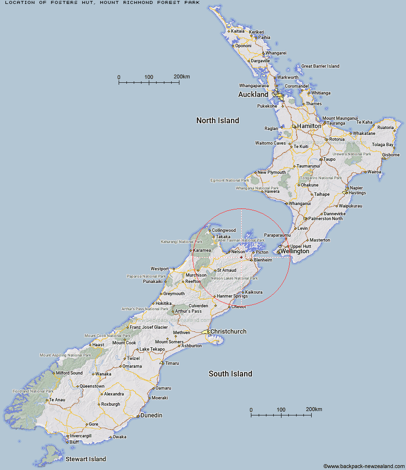
Topo Map showing location of Fosters Hut
This information is sourced from DoC, LINZ and Openstreetmap. Some of the hut photos are mine and the rest are from DoC. I will be adding an upload feature soon so people can photos of .Fosters Hut.
Basic info: standard 4-bunk hut in Mount Richmond Forest Park.
Latitude: -41.430947513
Longitude: 173.640670889
Location: Mount Richmond Forest Park
Area: Marlborough
Type of Hut: Standard
Tracks: Wakamarina Track
Map: BQ27 Topo Map | Road Map
Does this hut still exist? Have any more information? Contact
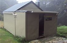
Image: DoC
Scroll down to see a topographical map and road map showing the location of Fosters Hut
[ A ] [ B ] [ C ] [ D ] [ E ] [ F ] [ G ] [ H ] [ I ] [ J ] [ K ] [ L ] [ M ] [ N ] [ O ] [ P ] [ Q ] [ R ] [ S ] [ T ] [ U ] [ V ] [ W ] [ Y ] [ Z ]
Closest 20 Huts to Fosters Hut
These are as the crow fliesFosters Hut 0km Mt Sunday Bivouac 4km Chimney 4.74km Devils Creek Hut 5.55km Fishtail Hut 12.72km Captain Creek Hut 18.28km Mt Fell Hut 19.06km Middy Creek Hut 21.33km Richmond Saddle Hut 21.97km Roebuck Hut 23.72km Dun Shelter 24.35km Rocks Hut 24.84km Ramshead Hut 26.87km McNaughts Hut 28.32km Third House Shelter 28.86km Beehive Hut 29.42km Tinpot Hut 30.4km Browning Hut 30.4km Lake Chalice Hut 30.72km Slaty Hut 30.79km Dillon Hut 31.62km Old Man Hut 32.51km Omaka Bivouac 32.55km Hacket Hut 32.97km Starveall Hut 33.4km Black Birch Bivouac 35.24km Lake Alexander Hut 35.45km Mt Rintoul Hut 36.35km Mid Goulter Hut 37.62km Penk Hut 39.74km Tarn Hut 41.59km Lower Goulter Hut 43.64km Turkeys Nest Bivouac 44.03km Hidden Hut 44.74km Gosling Hut 45km Mid Wairoa Hut 45.95km Top Whare 49.19km Top Wairoa Hut 51.13km Boulder Forks Hut 51.24km Flynns 53.25km