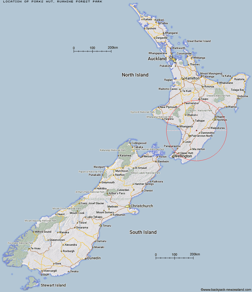
Topo Map showing location of Forks Hut
This information is sourced from DoC, LINZ and Openstreetmap. Some of the hut photos are mine and the rest are from DoC. I will be adding an upload feature soon so people can photos of .Forks Hut.
Basic info: standard six-bunk hut in the Manawatu.
Latitude: -40.1139088435
Longitude: 175.940019333
Location: Ruahine Forest Park
Area: Manawatu/Whanganui
Type of Hut: Standard
Map: BL35 Topo Map | Road Map
Does this hut still exist? Have any more information? Contact
Basic info: standard six-bunk hut in the Manawatu.
Latitude: -40.1139088435
Longitude: 175.940019333
Location: Ruahine Forest Park
Area: Manawatu/Whanganui
Type of Hut: Standard
Map: BL35 Topo Map | Road Map
Does this hut still exist? Have any more information? Contact
Scroll down to see a topographical map and road map showing the location of Forks Hut
[ A ] [ B ] [ C ] [ D ] [ E ] [ F ] [ G ] [ H ] [ I ] [ J ] [ K ] [ L ] [ M ] [ N ] [ O ] [ P ] [ Q ] [ R ] [ S ] [ T ] [ U ] [ V ] [ W ] [ Y ] [ Z ]
Closest 20 Huts to Forks Hut
These are as the crow fliesTe Ekaou Hut 1.25km Diggers Hut 1.98km Traverse (A Frame) Hut 6.34km Kiritaki Hut 8.48km Stanfield Hut 9.65km Mid Pohangina Hut 10.53km Piripiri Hut 10.58km Cattle Creek Hut 11.79km Ngamoko Hut 12.98km Leon Kinvig Hut 16.83km Toka Bivouac 18.39km Alice Nash Memorial Heritage Lodge 18.88km Makaretu Hut 19.42km Top Gorge Hut 21.49km Happy Daze Hut 21.51km Iron Gate Hut 23.05km Awatere Hut 23.22km Longview Hut 23.82km Rangiwahia Hut 25.69km Triangle Hut 26km Howletts Hut 28.19km Daphne Hut 28.3km Pourangaki Hut 30.81km Kelly Knight Hut 30.87km Tarn Bivouac 30.95km Purity Hut 34.12km Hinerua Hut 34.19km Waterfall Hut 34.98km Smiths Stream Hut 35.38km Waikamaka Hut 37.45km McKinnon Hut 39.23km Kawhatau Base 40.3km Waipawa Forks Hut 40.37km Crow Hut 40.51km Sunrise Hut 41.17km Triplex Hut 41.89km Top Maropea Hut 42.08km Wakelings Hut 43.1km Gold Creek Hut 44.87km Maropea Forks Hut 45.94km