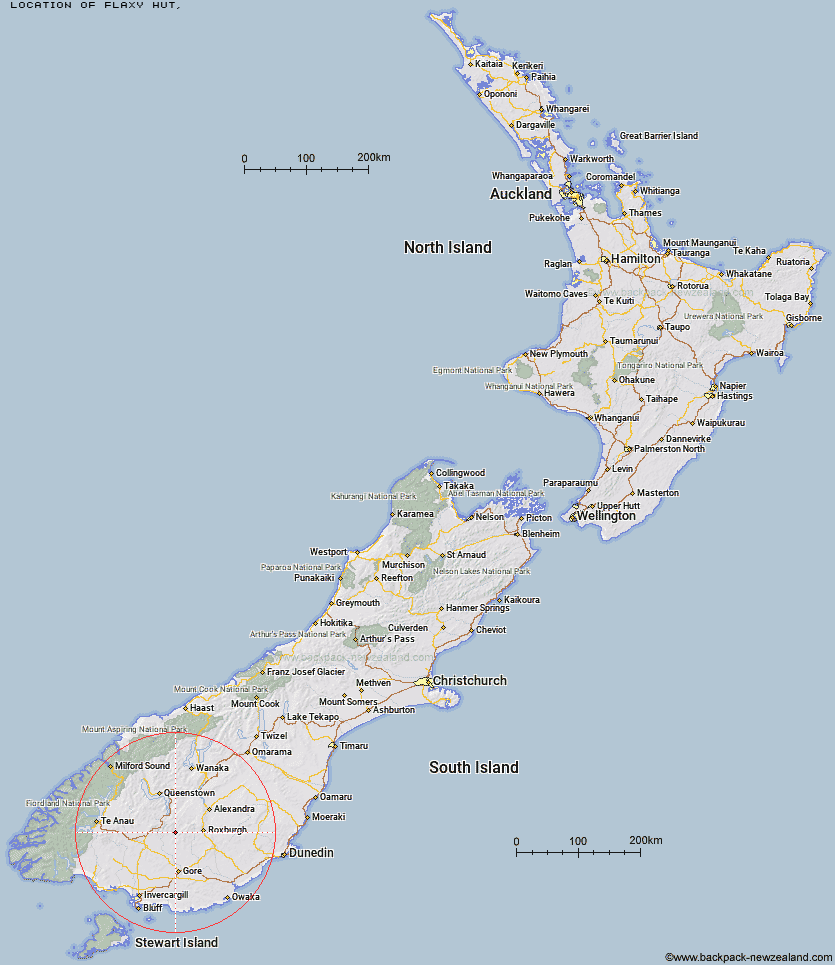
Topo Map showing location of Flaxy Hut
This information is sourced from DoC, LINZ and Openstreetmap. Some of the hut photos are mine and the rest are from DoC. I will be adding an upload feature soon so people can photos of .Flaxy Hut.
Latitude: -45.5701466671
Longitude: 168.887887494
Location:
Type of Hut:
Map: Topo Map | Road Map
Does this hut still exist? Have any more information? Contact
Latitude: -45.5701466671
Longitude: 168.887887494
Location:
Type of Hut:
Map: Topo Map | Road Map
Does this hut still exist? Have any more information? Contact
Scroll down to see a topographical map and road map showing the location of Flaxy Hut
[ A ] [ B ] [ C ] [ D ] [ E ] [ F ] [ G ] [ H ] [ I ] [ J ] [ K ] [ L ] [ M ] [ N ] [ O ] [ P ] [ Q ] [ R ] [ S ] [ T ] [ U ] [ V ] [ W ] [ Y ] [ Z ]
Closest 20 Huts to Flaxy Hut
These are as the crow fliesJunction Hut 1.35km Dome Hut 7.16km Titan Huts 7.24km Hyde Home Hut 8.77km Jim Baird Hut 10.29km Blue Lake Huts 10.79km Sullivan Hut 11.04km Black Hut 11.77km Stronach Hut 13.72km Mud Hut 15.04km Slate Hut 15.42km Bush Huts 15.84km Garston Ski Hut 16.9km Christies Hut 18.57km Junction Hut 23.99km Leithen Hut 24.68km McCrimmons Hut 24.91km Andrew Rees Hut 25.33km Potters Huts 25.56km Diggers Hut 27.05km Beaumont Hut 28.88km Baileys Hut 29.63km Boundary Hut 33.41km Nicholsons Hut 33.53km Mitchells Hut 34.56km Mansion Hut 36.95km Ross Hut 38.25km Whites Hut 39.09km Cowshed Hut 39.24km Shepherd Creek Hut 40.04km Mt Bee Bunkrooms 40.45km Cromel Base Hut 41.72km Siberia Hut 41.84km Irthing Hut 42.49km Cromel Branch Hut 42.51km Old Woman Hut 42.7km Dog Box Bivouac 44.39km Two Mile Hut 44.49km Billy Hut 45.44km Upper Cromel Hut 45.81km