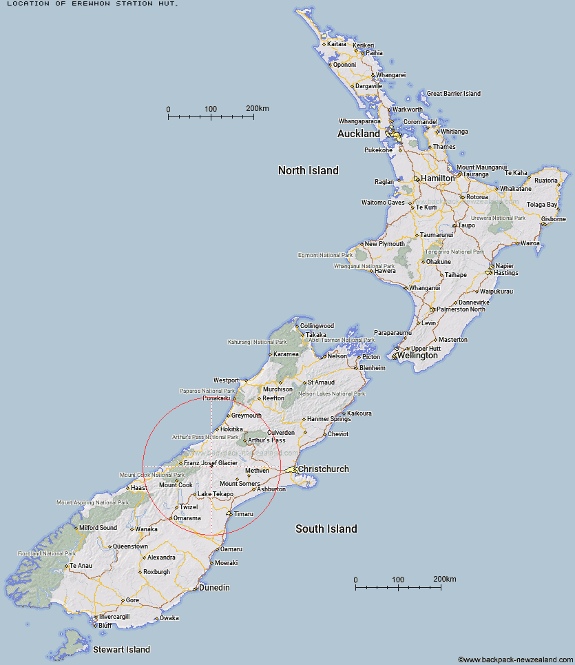
Topo Map showing location of Erewhon Station Hut
This information is sourced from DoC, LINZ and Openstreetmap. Some of the hut photos are mine and the rest are from DoC. I will be adding an upload feature soon so people can photos of .Erewhon Station Hut.
Latitude: -43.4472934415
Longitude: 170.848652024
Location:
Type of Hut:
Map: Topo Map | Road Map
Does this hut still exist? Have any more information? Contact
Latitude: -43.4472934415
Longitude: 170.848652024
Location:
Type of Hut:
Map: Topo Map | Road Map
Does this hut still exist? Have any more information? Contact
Scroll down to see a topographical map and road map showing the location of Erewhon Station Hut
[ A ] [ B ] [ C ] [ D ] [ E ] [ F ] [ G ] [ H ] [ I ] [ J ] [ K ] [ L ] [ M ] [ N ] [ O ] [ P ] [ Q ] [ R ] [ S ] [ T ] [ U ] [ V ] [ W ] [ Y ] [ Z ]
Closest 20 Huts to Erewhon Station Hut
These are as the crow fliesLawrence Hut 4.12km Watchdog Hut 6.52km Hermitage Hut 6.99km McCoy Hut 9.68km Black Mountain Hut 10.56km Potts Hut 10.98km Curtis Memorial Hut 11.01km Growler Hut 11.34km Lawrence Bivouac 12.31km Mistake Flats Hut 12.51km Saint Winifreds Hut 13.78km Murphys Bivvy 14.01km Top Hut 14.85km Dog Kennel Bivouac 15.5km Carneys Bivvy's 15.98km Forbes Bivouac 16.31km Cameron Hut 16.33km Lyell Hut 17.2km Highland Home 18.45km Boundary Creek Hut 20.17km Crooked Spur Hut 20.21km Reischek Hut 20.83km Lauper Bivouac 22km Banfield Hut 23.55km Washbourne Hut 23.56km Scone Hut 23.93km Thompsons Hut 24.65km Macaulay Hut 24.7km Evans Hut 25.54km Downs Hut 25.67km Hunters Hut 25.75km Smyth Hut 26.5km Stone Hut 27.31km Charlies Hut 27.47km Godley Hut 27.54km Jellicoe Hut 28.38km Red Stag Hut 29.77km Eade Memorial Hut 30.66km Stony Stream Hut 30.87km Felt Hut 31.35km