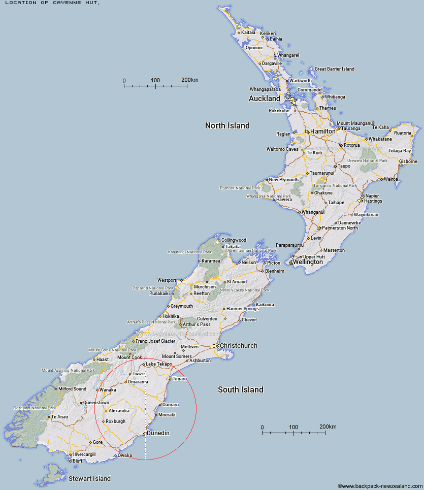
Topo Map showing location of Cayenne Hut
This information is sourced from DoC, LINZ and Openstreetmap. Some of the hut photos are mine and the rest are from DoC. I will be adding an upload feature soon so people can photos of .Cayenne Hut.
Latitude: -45.1973641019
Longitude: 170.540071395
Location:
Type of Hut:
Map: Topo Map | Road Map
Does this hut still exist? Have any more information? Contact
Latitude: -45.1973641019
Longitude: 170.540071395
Location:
Type of Hut:
Map: Topo Map | Road Map
Does this hut still exist? Have any more information? Contact
Scroll down to see a topographical map and road map showing the location of Cayenne Hut
[ A ] [ B ] [ C ] [ D ] [ E ] [ F ] [ G ] [ H ] [ I ] [ J ] [ K ] [ L ] [ M ] [ N ] [ O ] [ P ] [ Q ] [ R ] [ S ] [ T ] [ U ] [ V ] [ W ] [ Y ] [ Z ]
Closest 20 Huts to Cayenne Hut
These are as the crow fliesGentle Annie Hut 2.23km Grays Hut 3.31km Mitchells Hut 4.16km Half Moon Hut 7.04km Bog Hut 7.51km Mount Hut 7.68km Red Hut 11.29km Crumb Hut 13.14km Middle Hut 13.46km Staircase Hut 15.3km Balmoral Huts 19.7km Buster Hut 37.54km Brown Hut 40.59km Leaning Lodge 43.17km Tailings Hut 44.63km Big Hut 44.98km Hut Creek Hut 45.36km Ida Railway Hut 49.11km Awakino Ski Field 50.06km Chimney Creek Hut 50.63km Wire Yards Hut 51.01km Bendoran Hut 52.54km Waitaki Huts 55.89km Christmas Creek Hut 57.15km Philip J Cox Memorial Hut 57.27km Jubilee Hut 58.53km Mt John Hut 58.71km Howells Hut 59.99km Possum Hut 61.4km Poplar Hut 62.94km Pearson Hut 66.68km Canadian Hut 68.49km The Swamp Hut 68.93km Ben Rudds Hut 70.22km Otamatapaio Hut 72.64km Tent Hut 74.29km Boundary Creek Hut 74.98km Lauder Basin Hut 79.48km Top Hut 81.84km Richmond Hut 82.54km