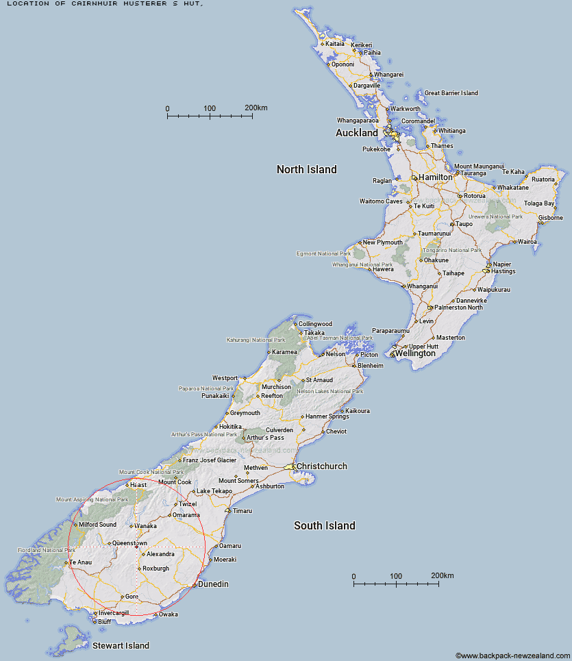
Topo Map showing location of Cairnmuir Musterer's Hut
This information is sourced from DoC, LINZ and Openstreetmap. Some of the hut photos are mine and the rest are from DoC. I will be adding an upload feature soon so people can photos of .Cairnmuir Musterer's Hut.
Latitude: -45.1103692477
Longitude: 169.240594784
Location:
Type of Hut:
Map: Topo Map | Road Map
Does this hut still exist? Have any more information? Contact
Latitude: -45.1103692477
Longitude: 169.240594784
Location:
Type of Hut:
Map: Topo Map | Road Map
Does this hut still exist? Have any more information? Contact
Scroll down to see a topographical map and road map showing the location of Cairnmuir Musterer's Hut
[ A ] [ B ] [ C ] [ D ] [ E ] [ F ] [ G ] [ H ] [ I ] [ J ] [ K ] [ L ] [ M ] [ N ] [ O ] [ P ] [ Q ] [ R ] [ S ] [ T ] [ U ] [ V ] [ W ] [ Y ] [ Z ]
Closest 20 Huts to Cairnmuir Musterer's Hut
These are as the crow fliesOld Woman Hut 17.21km Whites Hut 19.02km Deep Creek Hut 19.47km Boundary Hut 25.53km Meg Hut 26.01km Nicholsons Hut 27.31km Kirtle Burn Hut 27.35km Robrosa Hut 28.46km Glen Roy Raceman's Hut 28.73km Diggers Hut 32.03km McCrimmons Hut 33.75km Baileys Hut 34.04km Two Mile Hut 35.08km Andrew Rees Hut 35.95km Potters Huts 35.99km Eight Mile Hut 40.02km Christies Hut 44.07km Highland Creek Hut 44.17km Lauder Basin Hut 44.22km Bush Huts 44.32km Junction Hut 44.73km Roses Hut 45.18km Fern Burn Hut 45.87km Blue Lake Huts 47.39km Long Burn Hut 47.87km Green Gate Huts 49.16km Richmond Hut 51.2km Peats Hut 51.44km Siberia Hut 52.2km Titan Huts 52.62km Butchers Hut 52.9km Mitchells Hut 52.9km Sainsburys Huts 52.99km Ross Hut 54.08km Garston Ski Hut 54.26km Polson's Hut 54.56km Crystal Hut 54.77km Slate Hut 55.4km Sam Summers Hut 56.12km Junction Hut 56.74km