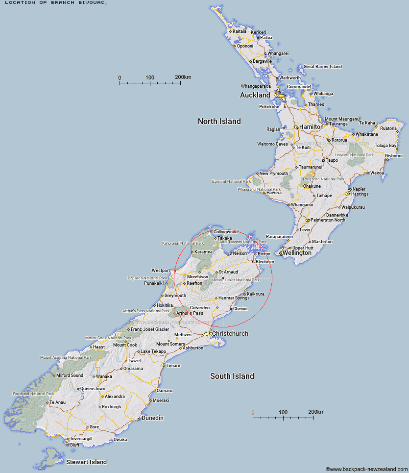
Topo Map showing location of Branch Bivouac
This information is sourced from DoC, LINZ and Openstreetmap. Some of the hut photos are mine and the rest are from DoC. I will be adding an upload feature soon so people can photos of .Branch Bivouac.
Latitude: -41.9636323502
Longitude: 173.037072572
Location:
Type of Hut:
Map: Topo Map | Road Map
Does this hut still exist? Have any more information? Contact
Latitude: -41.9636323502
Longitude: 173.037072572
Location:
Type of Hut:
Map: Topo Map | Road Map
Does this hut still exist? Have any more information? Contact
Scroll down to see a topographical map and road map showing the location of Branch Bivouac
[ A ] [ B ] [ C ] [ D ] [ E ] [ F ] [ G ] [ H ] [ I ] [ J ] [ K ] [ L ] [ M ] [ N ] [ O ] [ P ] [ Q ] [ R ] [ S ] [ T ] [ U ] [ V ] [ W ] [ Y ] [ Z ]
Closest 20 Huts to Branch Bivouac
These are as the crow fliesTop Leatham Hut 3.87km Lees Creek Hut 5.63km Bottom Misery Hut 5.9km Bottom Gordons Hut 9.39km Top Misery Hut 9.53km Siberia Hut 9.89km Severn Hut 10.92km Lost Stream Bivouac 10.96km Team Hut 12.6km Connors Creek Hut 13.39km Top Gordon Hut 13.55km Saxton Hut 13.96km Bull Paddock Creek Hut 14.96km Greigs Hut 15.21km Mid Silverstream Hut 15.43km Barbers Hut 15.59km Junction Hut 15.89km Carters Yards Hut 17.32km Acheron Hut 18.49km Munroe Hut 18.77km Red Gate Hut 18.82km Silverstream Bivouac 18.88km Lakehead Hut 20.3km Coldwater Hut 20.95km Begley Hut 21.17km Caves Hut 21.59km Burnt Yards Hut 21.73km Sedgemere Sleepout 22.22km John Tait Hut 22.23km Bushline Hut 22.63km Hopeless Hut 23.49km Relax Shelter 23.67km Bushedge Shelter 23.81km Upper Travers Hut 24.56km Cupola Hut 25.17km Angelus Hut 25.28km Red Hills Hut 26.12km Blue Mountain Hut 26.26km Boulder Forks Hut 26.39km Speargrass Hut 26.63km