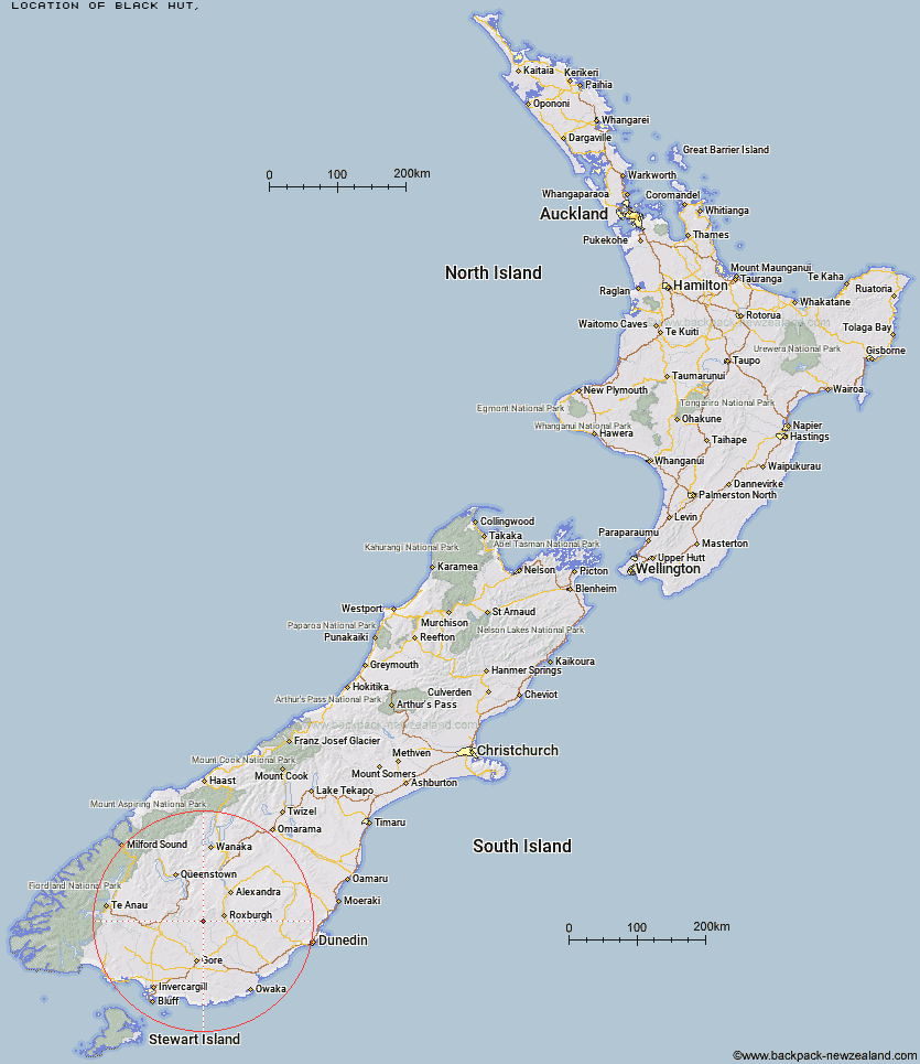
Topo Map showing location of Black Hut
This information is sourced from DoC, LINZ and Openstreetmap. Some of the hut photos are mine and the rest are from DoC. I will be adding an upload feature soon so people can photos of .Black Hut.
Latitude: -45.6134004329
Longitude: 169.025922332
Location:
Type of Hut:
Map: Topo Map | Road Map
Does this hut still exist? Have any more information? Contact
Latitude: -45.6134004329
Longitude: 169.025922332
Location:
Type of Hut:
Map: Topo Map | Road Map
Does this hut still exist? Have any more information? Contact
Scroll down to see a topographical map and road map showing the location of Black Hut
[ A ] [ B ] [ C ] [ D ] [ E ] [ F ] [ G ] [ H ] [ I ] [ J ] [ K ] [ L ] [ M ] [ N ] [ O ] [ P ] [ Q ] [ R ] [ S ] [ T ] [ U ] [ V ] [ W ] [ Y ] [ Z ]
Closest 20 Huts to Black Hut
These are as the crow fliesStronach Hut 2.57km Titan Huts 8.65km Junction Hut 11.66km Flaxy Hut 11.77km Bush Huts 14.28km Christies Hut 14.46km Leithen Hut 16.31km Blue Lake Huts 16.35km Hyde Home Hut 16.47km Junction Hut 16.79km Sullivan Hut 18.73km Dome Hut 18.88km Jim Baird Hut 19.4km Beaumont Hut 20km Andrew Rees Hut 22.66km Potters Huts 22.7km McCrimmons Hut 24.91km Diggers Hut 26.41km Mud Hut 26.58km Slate Hut 26.7km Garston Ski Hut 27.97km Nicholsons Hut 31.54km Boundary Hut 32.87km Baileys Hut 35.7km Whites Hut 39.74km Mitchells Hut 45.1km Old Woman Hut 45.2km Mansion Hut 48.52km Ross Hut 48.81km Cowshed Hut 50.87km Shepherd Creek Hut 51.8km Mt Bee Bunkrooms 51.8km Two Mile Hut 51.82km Siberia Hut 52.03km Cromel Base Hut 52.96km Cromel Branch Hut 54.14km Irthing Hut 54.23km Dog Box Bivouac 56.09km Billy Hut 56.41km Long Burn Hut 56.96km