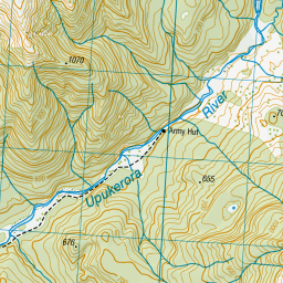
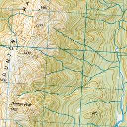
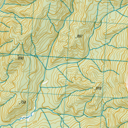
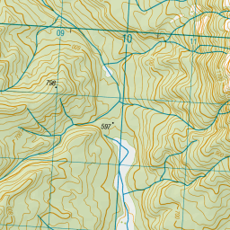
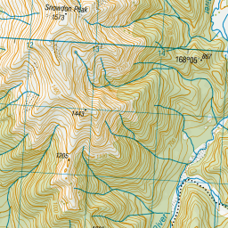
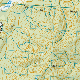
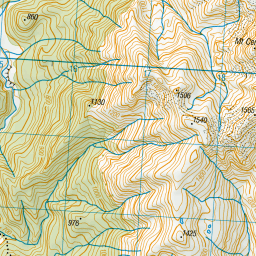
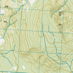
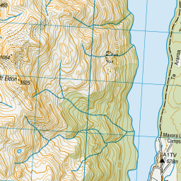
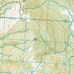
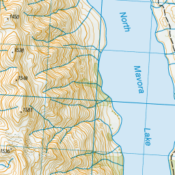
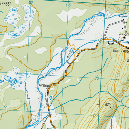
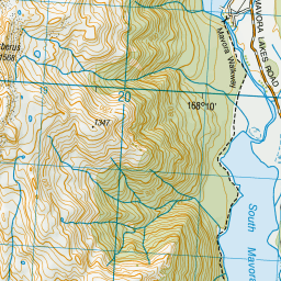
Topo Map showing location of Army Hut
This information is sourced from DoC, LINZ and Openstreetmap. Some of the hut photos are mine and the rest are from DoC. I will be adding an upload feature soon so people can photos of .Army Hut.
Basic info: basic four-bunk hut in the Southland area.
Latitude: -45.258360111
Longitude: 168.02859462
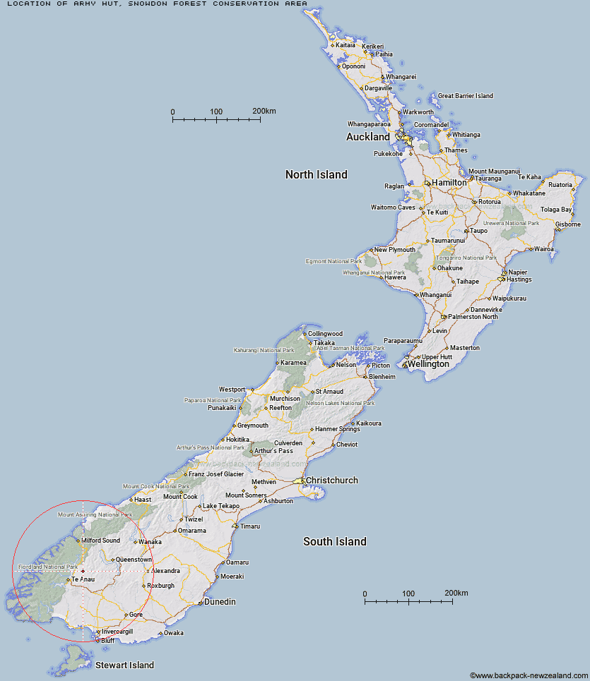
Location: Snowdon Forest Conservation Area
Area: Southland
Type of Hut: Basic/bivvies
Tracks: Snowdon Forest tramping tracks
Map: CC09 Topo Map | Road Map
Does this hut still exist? Have any more information? Contact
Basic info: basic four-bunk hut in the Southland area.
Latitude: -45.258360111
Longitude: 168.02859462
Location: Snowdon Forest Conservation Area
Area: Southland
Type of Hut: Basic/bivvies
Tracks: Snowdon Forest tramping tracks
Map: CC09 Topo Map | Road Map
Does this hut still exist? Have any more information? Contact
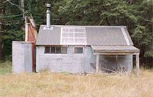
Image: DoC
Scroll down to see a topographical map and road map showing the location of Army Hut
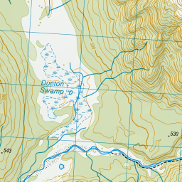

Leaflet | Sourced from LINZ. CC BY 4.0


Leaflet | Map data © OpenStreetMap contributors
[ A ] [ B ] [ C ] [ D ] [ E ] [ F ] [ G ] [ H ] [ I ] [ J ] [ K ] [ L ] [ M ] [ N ] [ O ] [ P ] [ Q ] [ R ] [ S ] [ T ] [ U ] [ V ] [ W ] [ Y ] [ Z ]
Closest 20 Huts to Army Hut
These are as the crow fliesWest Burn Hut 11.41km Kiwi Burn Hut 11.81km Careys Hut 13.2km Boundary Hut 17.72km Forks Hut 17.84km Upper Oreti Hut 19.72km Lincoln Hut 19.95km Ashton Hut 23.4km Oreti Hut 25.99km Upper Windley Hut 26.24km Taipo Hut 27.67km Lower Windley Hut 30.56km Islands Hut 31.05km Upper Cromel Hut 31.3km Dog Box Bivouac 31.35km Brod Bay Shelter and Campsite 32.11km Irthing Hut 33.69km Luxmore Hut 34.98km Cromel Branch Hut 35.25km Shepherd Creek Hut 35.46km Steele Creek Lodge 36.03km Greenstone Hut 36.05km Saint Marys Hut 36.56km Billy Hut 36.83km Cowshed Hut 36.88km Rats Nest Hut 36.96km Lower Princhester Hut 37.76km Glade House 38.29km Worsley Hut 38.3km Forest Burn Shelter 38.57km Slip Flat Hut 38.72km Glaisnock Hut 38.92km Steele Creek Hut 39.6km Mt Bee Bunkrooms 40.02km Cromel Base Hut 40.17km Clinton Hut 40.32km Hanging Valley Shelter 40.91km Mansion Hut 40.93km Moturau Hut 41.02km Upper Princhester Hut 41.44km