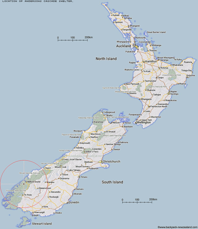
Topo Map showing location of Andersons Cascade Shelter
This information is sourced from DoC, LINZ and Openstreetmap. Some of the hut photos are mine and the rest are from DoC. I will be adding an upload feature soon so people can photos of .Andersons Cascade Shelter.
Latitude: -44.7939580095
Longitude: 167.773844002
Location:
Type of Hut:
Map: Topo Map | Road Map
Does this hut still exist? Have any more information? Contact
Latitude: -44.7939580095
Longitude: 167.773844002
Location:
Type of Hut:
Map: Topo Map | Road Map
Does this hut still exist? Have any more information? Contact
Scroll down to see a topographical map and road map showing the location of Andersons Cascade Shelter
[ A ] [ B ] [ C ] [ D ] [ E ] [ F ] [ G ] [ H ] [ I ] [ J ] [ K ] [ L ] [ M ] [ N ] [ O ] [ P ] [ Q ] [ R ] [ S ] [ T ] [ U ] [ V ] [ W ] [ Y ] [ Z ]
Closest 20 Huts to Andersons Cascade Shelter
These are as the crow fliesAndersons Cascade Shelter 0km Mackinnon Pass Shelter 0.95km Quintin Lodge 1.64km Mintaro Hut 1.86km Dumpling Hut 2.95km Pompolona Lodge 5.3km Bus Stop Shelter 5.68km Prairie Shelter 6.48km Boatshed Shelter 6.61km Boatshed Hut 6.62km Hirere Shelter 9.95km Giant Gate Shelter 11.48km Sandfly Point Shelter 15.83km Clinton Hut 16.35km Worsley Hut 17.19km Homer Hut 18.3km Glade House 18.7km Gill's Bivvy 21.63km Phil's Bivvy 21.71km Glaisnock Hut 23.5km The Divide Shelter 27.33km Turners Bivouac 27.45km Pawnbroker Rock 28.21km Lake Howden Hut 28.62km McKellar Lodge 30.4km McKellar Hut 30.52km Lake Mackenzie Lodge 31.66km Lake Mackenzie Hut 31.69km Lake Thomson Hut 31.78km Lake Hankinson Hut 32.49km Sunshine Hut 32.77km Hidden Falls Hut 32.92km George Sound Hut 33.72km Routeburn Falls Lodge 34.4km Routeburn Falls Hut 34.45km Routeburn Flats Hut 35.68km Upper Caples Hut 35.8km Kaipo Hut 36.52km Rats Nest Hut 36.58km Kay Creek Hut 37.29km