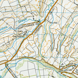
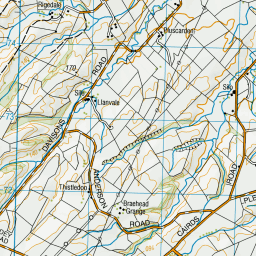
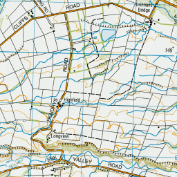
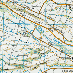
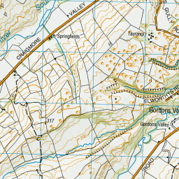
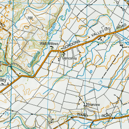
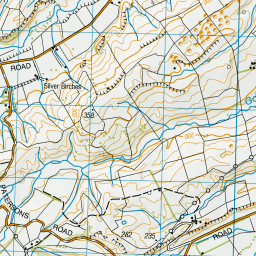
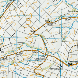
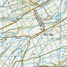
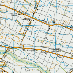
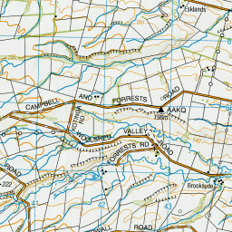
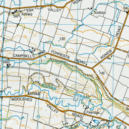
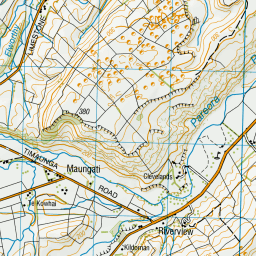
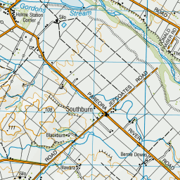
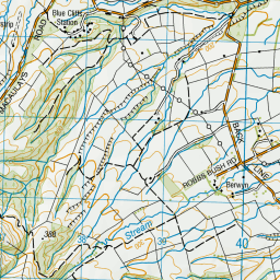
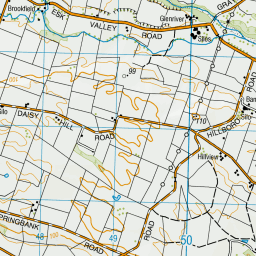
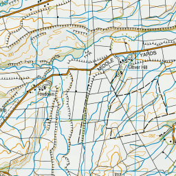
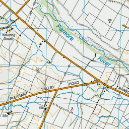
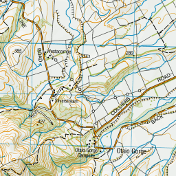
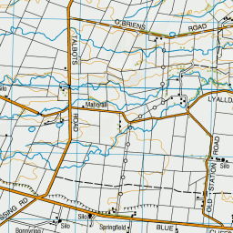
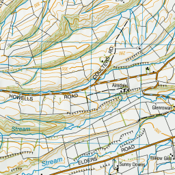
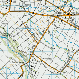
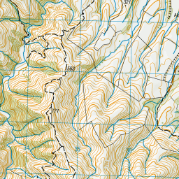
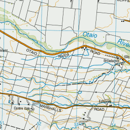
Map showing location of Drinnans Bridge
LINZ description: Bridge on Blue Cliffs Road, over Otaio River 13km west of St Andrews.
Latitude: -44.497412
Longitude: 171.030118
Northing: 5070991.1
Easting: 1443391.3
Land District: Canterbury
Feat Type: Bridge
Latitude: -44.497412
Longitude: 171.030118
Northing: 5070991.1
Easting: 1443391.3
Land District: Canterbury
Feat Type: Bridge
Scroll down to see a more detailed road map and below that a topographical map showing the location of Drinnans Bridge. The road map has been supplied by openstreetmap and the topographical map of Drinnans Bridge has been supplied by Land Information New Zealand (LINZ).
Yes you can use the top static map for you school/university project or personal website with a link back. Contact me for any commercial use.


Leaflet | Map data © OpenStreetMap contributors

Leaflet | Sourced from LINZ. CC BY 4.0
[ A ] [ B ] [ C ] [ D ] [ E ] [ F ] [ G ] [ H ] [ I ] [ J ] [ K ] [ L ] [ M ] [ N ] [ O ] [ P ] [ Q ] [ R ] [ S ] [ T ] [ U ] [ V ] [ W ] [ X ] [ Y ] [ Z ]