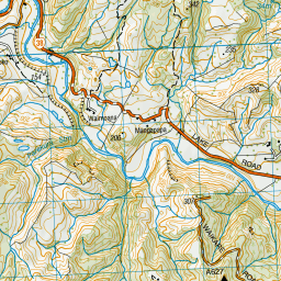
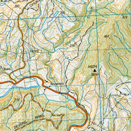
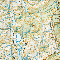
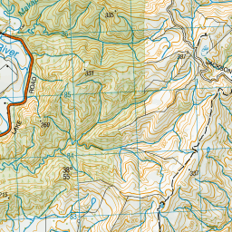
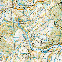
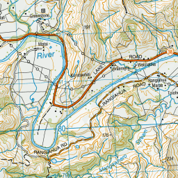
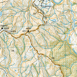
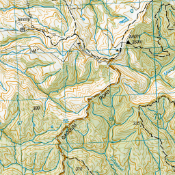
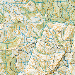
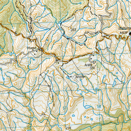
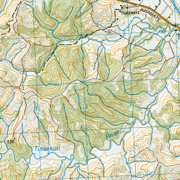
Map showing location of Te Iranga o Wharo Bridge
LINZ description: On Patunamu Road, near intersection with Ruapapa Road.
Latitude: -38.92129
Longitude: 177.240845
Northing: 5683400
Easting: 1967700
Land District: Gisborne
Feat Type: Bridge
Latitude: -38.92129
Longitude: 177.240845
Northing: 5683400
Easting: 1967700
Land District: Gisborne
Feat Type: Bridge

Scroll down to see a more detailed road map and below that a topographical map showing the location of Te Iranga o Wharo Bridge. The road map has been supplied by openstreetmap and the topographical map of Te Iranga o Wharo Bridge has been supplied by Land Information New Zealand (LINZ).
Yes you can use the top static map for you school/university project or personal website with a link back. Contact me for any commercial use.


Leaflet | Map data © OpenStreetMap contributors
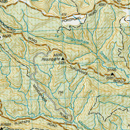
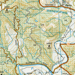
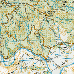
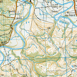
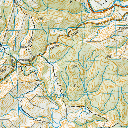
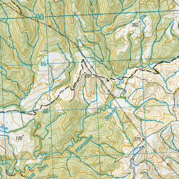
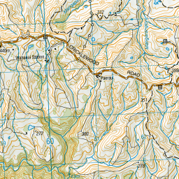
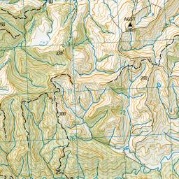
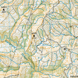
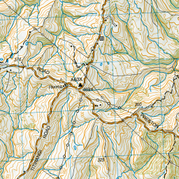
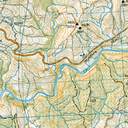
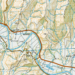


Leaflet | Sourced from LINZ. CC BY 4.0
[ A ] [ B ] [ C ] [ D ] [ E ] [ F ] [ G ] [ H ] [ I ] [ J ] [ K ] [ L ] [ M ] [ N ] [ O ] [ P ] [ Q ] [ R ] [ S ] [ T ] [ U ] [ V ] [ W ] [ X ] [ Y ] [ Z ]