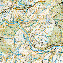
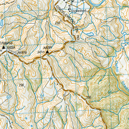
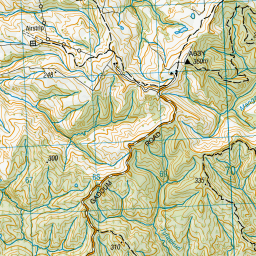
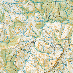
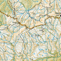
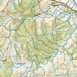
Map showing location of Te Iringaowhare Bridge
LINZ description: On Patunamu Road, near intersection with Ruapapa Road.
Latitude: -38.92129
Longitude: 177.240845
Northing: 5683400
Easting: 1967700
Land District: Gisborne
Feat Type: Bridge
Latitude: -38.92129
Longitude: 177.240845
Northing: 5683400
Easting: 1967700
Land District: Gisborne
Feat Type: Bridge

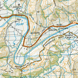
Scroll down to see a more detailed road map and below that a topographical map showing the location of Te Iringaowhare Bridge. The road map has been supplied by openstreetmap and the topographical map of Te Iringaowhare Bridge has been supplied by Land Information New Zealand (LINZ).
Yes you can use the top static map for you school/university project or personal website with a link back. Contact me for any commercial use.


Leaflet | Map data © OpenStreetMap contributors
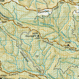
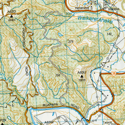
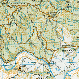
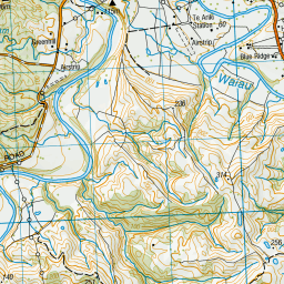
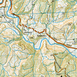
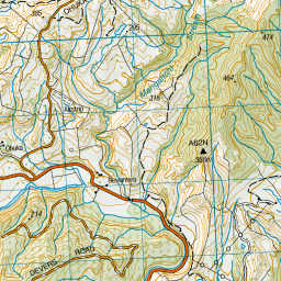
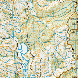
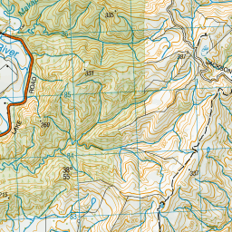
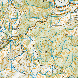
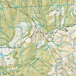
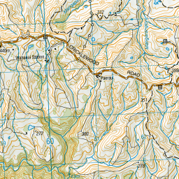
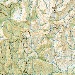
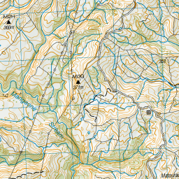
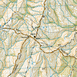
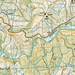
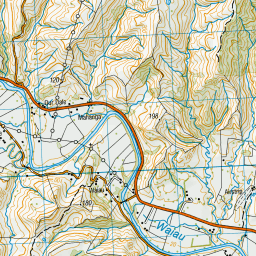


Leaflet | Sourced from LINZ. CC BY 4.0
[ A ] [ B ] [ C ] [ D ] [ E ] [ F ] [ G ] [ H ] [ I ] [ J ] [ K ] [ L ] [ M ] [ N ] [ O ] [ P ] [ Q ] [ R ] [ S ] [ T ] [ U ] [ V ] [ W ] [ X ] [ Y ] [ Z ]