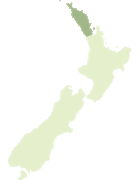
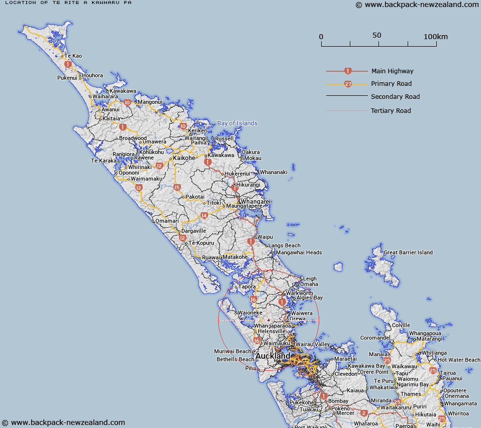
Map showing location of Te Rite-a-Kawharu Pā
LINZ description: An historic site approximately 3.5 km north-west of Wainui. NZTopo50 AZ31, GR 392 495.
Latitude: -36.592179
Longitude: 174.551448
Northing: 5949246.7
Easting: 1738780.4
Land District: North Auckland
Feat Type: Site
Latitude: -36.592179
Longitude: 174.551448
Northing: 5949246.7
Easting: 1738780.4
Land District: North Auckland
Feat Type: Site
Scroll down to see a more detailed road map and below that a topographical map showing the location of Te Rite-a-Kawharu Pā. The road map has been supplied by openstreetmap and the topographical map of Te Rite-a-Kawharu Pā has been supplied by Land Information New Zealand (LINZ).
Yes you can use the top static map for you school/university project or personal website with a link back. Contact me for any commercial use.
[ A ] [ B ] [ C ] [ D ] [ E ] [ F ] [ G ] [ H ] [ I ] [ J ] [ K ] [ L ] [ M ] [ N ] [ O ] [ P ] [ Q ] [ R ] [ S ] [ T ] [ U ] [ V ] [ W ] [ X ] [ Y ] [ Z ]