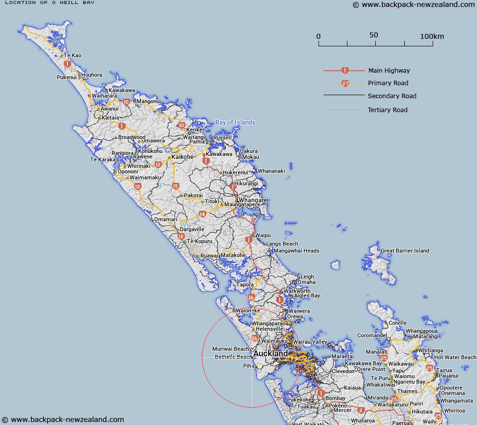
Map showing location of O'Neill Bay


LINZ description: Bay north of Te Henga locality.
Latitude: -36.884576
Longitude: 174.437962
Northing: 5916966.6
Easting: 1728141.2
Land District: North Auckland
Feat Type: Bay


Scroll down to see a more detailed road map and below that a topographical map showing the location of O'Neill Bay. The road map has been supplied by openstreetmap and the topographical map of O'Neill Bay has been supplied by Land Information New Zealand (LINZ).

Yes you can use the top static map for you school/university project or personal website with a link back. Contact me for any commercial use.
O'Neill Bay Map New Zealand


New Zealand places in our database
[ A ] [ B ] [ C ] [ D ] [ E ] [ F ] [ G ] [ H ] [ I ] [ J ] [ K ] [ L ] [ M ] [ N ] [ O ] [ P ] [ Q ] [ R ] [ S ] [ T ] [ U ] [ V ] [ W ] [ X ] [ Y ] [ Z ]


Closest 20 Bays to O'Neill Bay

O'Neill Bay ( 0km )   Waitakere Bay ( 0.74km )   Te Waharoa ( 2.01km )   Wigmore Bay ( 2.44km )   Wahirua Bay ( 2.79km )   Whakatau Bay ( 2.79km )   Kirikiri Bay ( 3km )   Pareoha Bay ( 3.37km )   Parera Bay ( 3.92km )   Bartrum Bay ( 4km )   Powell Bay ( 4.23km )   Pillow Lava Bay ( 4.55km )   Paikea Bay ( 4.84km )   Collins Bay ( 4.99km )   Maori Bay ( 5.47km )   Maukatia Bay ( 5.47km )   Kohunui Bay ( 5.87km )   Mercer Bay ( 10.89km )   Te Unuhanga-a-Rangitoto / Mercer Bay ( 10.89km )   T?horo / Union Bay ( 11.67km )   Union Bay ( 11.67km )   Whakaruro Bay ( 12.8km )   Cowan Bay ( 13.4km )   Pararaha Bay ( 14.46km )   Taranaki Bay ( 16.13km )   Huia Bay ( 17.27km )   Hinge Bay ( 17.64km )   Foster Bay ( 18.01km )   Bryan Bay ( 18.25km )   Makaka Bay ( 18.29km )   Waterfall Bay ( 18.35km )   Boulder Bay ( 18.5km )   Orpheus Bay ( 18.71km )   Kaitarakihi Bay ( 18.84km )   Wonga Wonga Bay ( 18.87km )   Armour Bay ( 19.05km )   Symonds Bay ( 19.14km )   Mill Bay ( 19.26km )   Swanson Bay ( 19.31km )   Duncan Bay ( 19.38km )