Map showing location of Maungakawa Scenic Reserve
LINZ description: Shown in the Ngāti Hauā Deed of Settlement Plan OTS-190-21. Conservation Unit Number T15501 (NaPALIS 2792398). Described as 63.9108 hectares, more or less, being Lot 1-2 DP 467321 and Part Section 3 Block VI Cambridge Survey District. All Computer Freehold Register 637892. NZTopo50-BD34 225066.
Latitude: -37.861111
Longitude: 175.529444
Northing: 5806579.2
Easting: 1822514.6
Land District: South Auckland
Feat Type: Scenic Reserve
Latitude: -37.861111
Longitude: 175.529444
Northing: 5806579.2
Easting: 1822514.6
Land District: South Auckland
Feat Type: Scenic Reserve
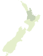
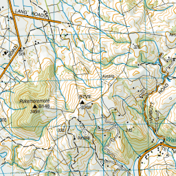
Scroll down to see a more detailed road map and below that a topographical map showing the location of Maungakawa Scenic Reserve. The road map has been supplied by openstreetmap and the topographical map of Maungakawa Scenic Reserve has been supplied by Land Information New Zealand (LINZ).
Yes you can use the top static map for you school/university project or personal website with a link back. Contact me for any commercial use.
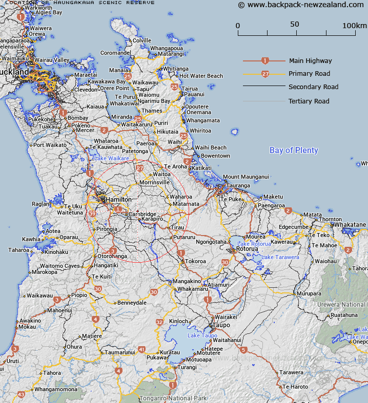
Leaflet | Map data © OpenStreetMap contributors
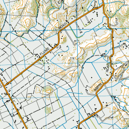

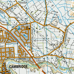





Leaflet | Sourced from LINZ. CC BY 4.0
[ A ] [ B ] [ C ] [ D ] [ E ] [ F ] [ G ] [ H ] [ I ] [ J ] [ K ] [ L ] [ M ] [ N ] [ O ] [ P ] [ Q ] [ R ] [ S ] [ T ] [ U ] [ V ] [ W ] [ X ] [ Y ] [ Z ]


