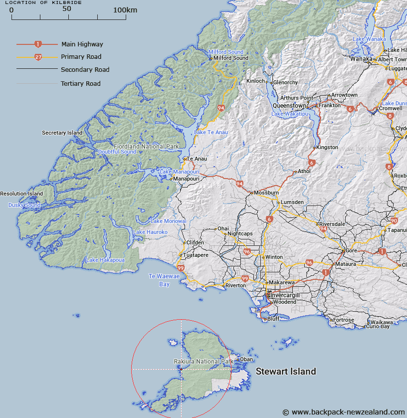
Map showing location of Kilbride
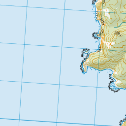
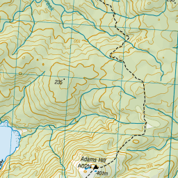
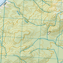
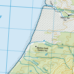
LINZ description: Homestead in old township reserve of Kilbride, 4.7km North by North-west of Adams Hill, West coast, Stewart Island. Mason Survey District.
Latitude: -46.969342
Longitude: 167.694588
Northing: 4784566.7
Easting: 1196461.9
Land District: Southland
Feat Type: Building
Latitude: -46.969342
Longitude: 167.694588
Northing: 4784566.7
Easting: 1196461.9
Land District: Southland
Feat Type: Building

Scroll down to see a more detailed road map and below that a topographical map showing the location of Kilbride. The road map has been supplied by openstreetmap and the topographical map of Kilbride has been supplied by Land Information New Zealand (LINZ).
Yes you can use the top static map for you school/university project or personal website with a link back. Contact me for any commercial use.


Leaflet | Map data © OpenStreetMap contributors
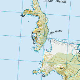
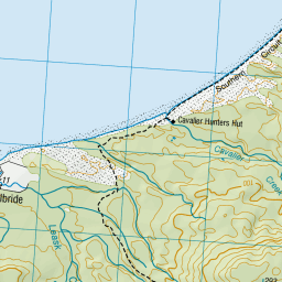
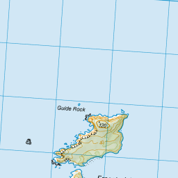


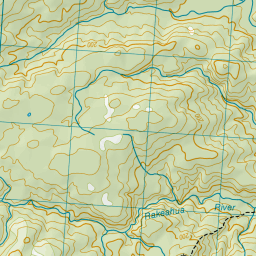

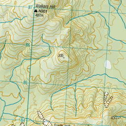

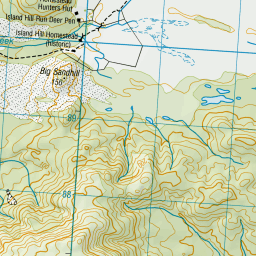

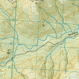

Leaflet | Sourced from LINZ. CC BY 4.0
[ A ] [ B ] [ C ] [ D ] [ E ] [ F ] [ G ] [ H ] [ I ] [ J ] [ K ] [ L ] [ M ] [ N ] [ O ] [ P ] [ Q ] [ R ] [ S ] [ T ] [ U ] [ V ] [ W ] [ X ] [ Y ] [ Z ]