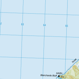
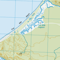
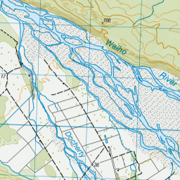
Map showing location of Blanchards Bluff
LINZ description: Feature shown on: NZMS260 H34 G35 H35
Latitude: -43.260111
Longitude: 170.101278
Northing: 5206219.1
Easting: 1364722.8
Land District: Westland
Feat Type: Cliff
Latitude: -43.260111
Longitude: 170.101278
Northing: 5206219.1
Easting: 1364722.8
Land District: Westland
Feat Type: Cliff

Scroll down to see a more detailed road map and below that a topographical map showing the location of Blanchards Bluff. The road map has been supplied by openstreetmap and the topographical map of Blanchards Bluff has been supplied by Land Information New Zealand (LINZ).
Yes you can use the top static map for you school/university project or personal website with a link back. Contact me for any commercial use.

Leaflet | Map data © OpenStreetMap contributors


Leaflet | Sourced from LINZ. CC BY 4.0
[ A ] [ B ] [ C ] [ D ] [ E ] [ F ] [ G ] [ H ] [ I ] [ J ] [ K ] [ L ] [ M ] [ N ] [ O ] [ P ] [ Q ] [ R ] [ S ] [ T ] [ U ] [ V ] [ W ] [ X ] [ Y ] [ Z ]


