Map showing location of Awatere-iti Stream


LINZ description: Feature shown on: NZMS260 O30 Edition 1 1988
Latitude: -42.031361
Longitude: 173.307778
Northing: 5346696
Easting: 1625476.9
Land District: Marlborough
Feat Type: Stream
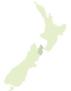

Scroll down to see a more detailed road map and below that a topographical map showing the location of Awatere-iti Stream. The road map has been supplied by openstreetmap and the topographical map of Awatere-iti Stream has been supplied by Land Information New Zealand (LINZ).

Yes you can use the top static map for you school/university project or personal website with a link back. Contact me for any commercial use.
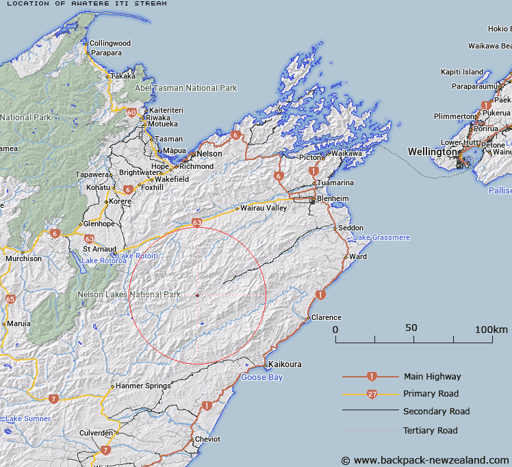
Awatere-iti Stream Map New Zealand


New Zealand places in our database
[ A ] [ B ] [ C ] [ D ] [ E ] [ F ] [ G ] [ H ] [ I ] [ J ] [ K ] [ L ] [ M ] [ N ] [ O ] [ P ] [ Q ] [ R ] [ S ] [ T ] [ U ] [ V ] [ W ] [ X ] [ Y ] [ Z ]


Closest 20 Streams to Awatere-iti Stream

Awatere-iti Stream ( 0km )   Smokey Stream ( 4.68km )   Weka Brook ( 4.94km )   Kennet River ( 5.03km )   Munroe Stream ( 5.19km )   Dane River ( 5.2km )   Molesworth Stream ( 7.65km )   Orr Stream ( 8.26km )   Langridge Stream ( 9.68km )   Yeo Stream ( 10.22km )   Acheron River ( 11.06km )   Oyster Stream ( 11.3km )   Ward Stream ( 11.99km )   Thomas Stream ( 12.03km )   William Stream ( 12.08km )   Nesbit Stream ( 12.66km )   Tone River ( 12.69km )   Robinson Creek ( 12.98km )   Saxton River ( 13.01km )   George River ( 13.09km )   Team Stream ( 13.31km )   Wildsheep Stream ( 14.38km )   Awatere River ( 14.87km )   Waihopai Saddle Stream ( 15.4km )   Castle River ( 15.72km )   Goat Valley Stream ( 15.73km )   Two Mile Stream ( 15.87km )   Blue Mountain Stream ( 16.06km )   Gordon Stream ( 16.79km )   Elliott Stream ( 16.84km )   St Bernard Stream ( 17.15km )   Cat Stream ( 17.24km )   Waterfall Stream ( 17.79km )   Enchanted Stream ( 17.9km )   Cow Stream ( 17.99km )   Middlehurst Stream ( 18.06km )   Spray River ( 18.13km )   Glazebrook Stream ( 18.23km )   Bluff River ( 18.61km )   Red Hill Stream ( 18.63km )