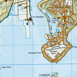
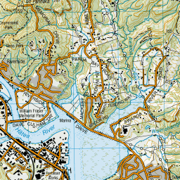
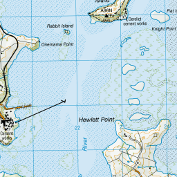
Map showing location of Whangarei Harbour Marine Reserve
LINZ description: This reserve covers two sites – Waikaraka, and Motukaroro/Passage Island at Reotahi. Waikaraka is one of New Zealand’s richest mangrove environments and attracts abundant birdlife. Motukaroro covers reef and sandy seabed habitats. It is notable for its diverse sea sponge populations.
Whangarei Harbour is located on Northland's east coast, about 160 km north of Auckland.
Latitude: -35.765132
Longitude: 174.380176
Northing: 6041223
Easting: 1724763.6
Land District: North Auckland
Feat Type: Marine Reserve
Latitude: -35.765132
Longitude: 174.380176
Northing: 6041223
Easting: 1724763.6
Land District: North Auckland
Feat Type: Marine Reserve

Scroll down to see a more detailed road map and below that a topographical map showing the location of Whangarei Harbour Marine Reserve. The road map has been supplied by openstreetmap and the topographical map of Whangarei Harbour Marine Reserve has been supplied by Land Information New Zealand (LINZ).
Yes you can use the top static map for you school/university project or personal website with a link back. Contact me for any commercial use.

Leaflet | Map data © OpenStreetMap contributors


Leaflet | Sourced from LINZ. CC BY 4.0
[ A ] [ B ] [ C ] [ D ] [ E ] [ F ] [ G ] [ H ] [ I ] [ J ] [ K ] [ L ] [ M ] [ N ] [ O ] [ P ] [ Q ] [ R ] [ S ] [ T ] [ U ] [ V ] [ W ] [ X ] [ Y ] [ Z ]


