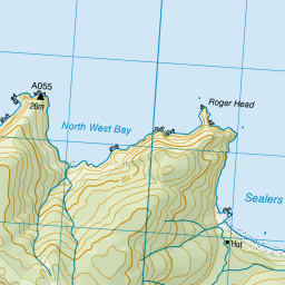
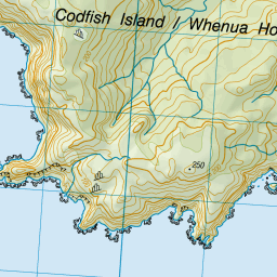
Map showing location of Sealers Bay
LINZ description: Feature shown on: NZMS260 D48 E48 F48 Edition 3 1995
Latitude: -46.760222
Longitude: 167.651583
Northing: 4807575.2
Easting: 1191604.4
Land District: Southland
Feat Type: Bay
Latitude: -46.760222
Longitude: 167.651583
Northing: 4807575.2
Easting: 1191604.4
Land District: Southland
Feat Type: Bay

Scroll down to see a more detailed road map and below that a topographical map showing the location of Sealers Bay. The road map has been supplied by openstreetmap and the topographical map of Sealers Bay has been supplied by Land Information New Zealand (LINZ).
Yes you can use the top static map for you school/university project or personal website with a link back. Contact me for any commercial use.

Leaflet | Map data © OpenStreetMap contributors


Leaflet | Sourced from LINZ. CC BY 4.0
[ A ] [ B ] [ C ] [ D ] [ E ] [ F ] [ G ] [ H ] [ I ] [ J ] [ K ] [ L ] [ M ] [ N ] [ O ] [ P ] [ Q ] [ R ] [ S ] [ T ] [ U ] [ V ] [ W ] [ X ] [ Y ] [ Z ]


