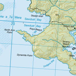
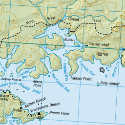
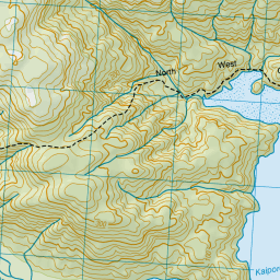
Map showing location of Linklater Bay
LINZ description: Small bay in Paterson Inlet, between Allans Point and Little Kaipipi Bay, Stewart Island. Block 15 Paterson Survey District.
Latitude: -46.908626
Longitude: 168.061657
Northing: 4793141.1
Easting: 1223950.9
Land District: Southland
Feat Type: Bay
Latitude: -46.908626
Longitude: 168.061657
Northing: 4793141.1
Easting: 1223950.9
Land District: Southland
Feat Type: Bay

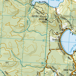
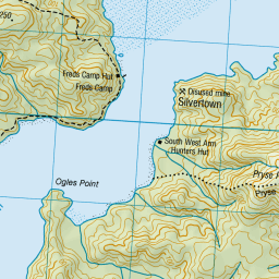
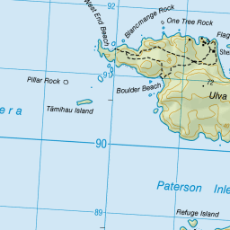
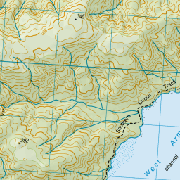
Scroll down to see a more detailed road map and below that a topographical map showing the location of Linklater Bay. The road map has been supplied by openstreetmap and the topographical map of Linklater Bay has been supplied by Land Information New Zealand (LINZ).
Yes you can use the top static map for you school/university project or personal website with a link back. Contact me for any commercial use.


Leaflet | Map data © OpenStreetMap contributors
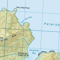
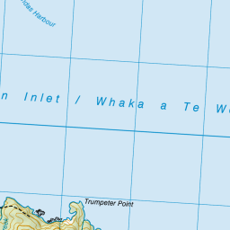
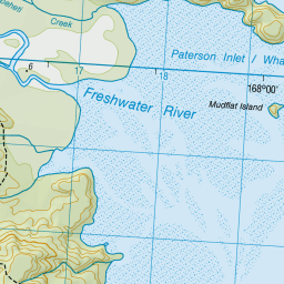
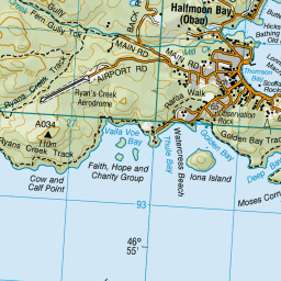
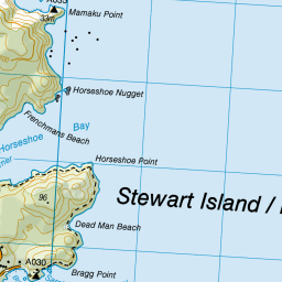
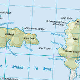

Leaflet | Sourced from LINZ. CC BY 4.0
[ A ] [ B ] [ C ] [ D ] [ E ] [ F ] [ G ] [ H ] [ I ] [ J ] [ K ] [ L ] [ M ] [ N ] [ O ] [ P ] [ Q ] [ R ] [ S ] [ T ] [ U ] [ V ] [ W ] [ X ] [ Y ] [ Z ]