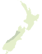
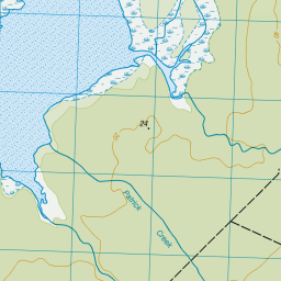
Map showing location of Okarito
LINZ description: Coastal settlement 18km due north of Franz Josef Glacier / Waiau township.
Latitude: -43.223247
Longitude: 170.162988
Northing: 5210485.3
Easting: 1369592.8
Land District: Westland
Feat Type: Locality
Latitude: -43.223247
Longitude: 170.162988
Northing: 5210485.3
Easting: 1369592.8
Land District: Westland
Feat Type: Locality
Scroll down to see a more detailed road map and below that a topographical map showing the location of Okarito. The road map has been supplied by openstreetmap and the topographical map of Okarito has been supplied by Land Information New Zealand (LINZ).
Yes you can use the top static map for you school/university project or personal website with a link back. Contact me for any commercial use.


Leaflet | Map data © OpenStreetMap contributors
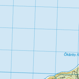
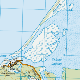

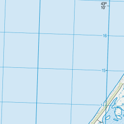
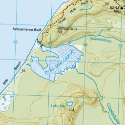
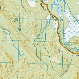

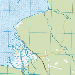

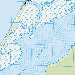
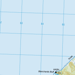
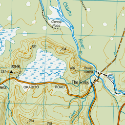

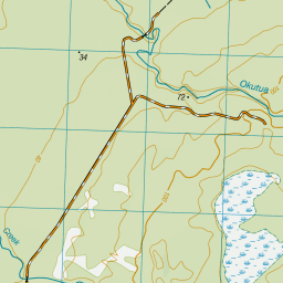
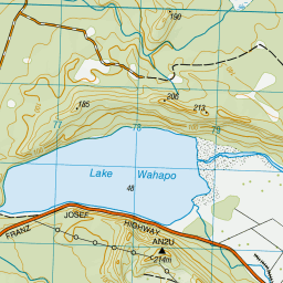

Leaflet | Sourced from LINZ. CC BY 4.0
[ A ] [ B ] [ C ] [ D ] [ E ] [ F ] [ G ] [ H ] [ I ] [ J ] [ K ] [ L ] [ M ] [ N ] [ O ] [ P ] [ Q ] [ R ] [ S ] [ T ] [ U ] [ V ] [ W ] [ X ] [ Y ] [ Z ]