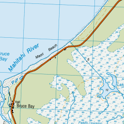
Map showing location of Mahitahi
LINZ description: Locality just off the main highway, 5km South of Bruce Bay. Bruce Bay Survey District.
Latitude: -43.647675
Longitude: 169.599383
Northing: 5161636.9
Easting: 1325742.5
Land District: Westland
Feat Type: Locality
Latitude: -43.647675
Longitude: 169.599383
Northing: 5161636.9
Easting: 1325742.5
Land District: Westland
Feat Type: Locality
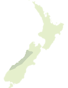
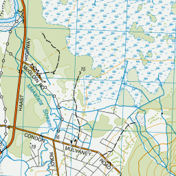
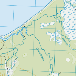
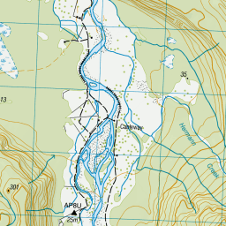
Scroll down to see a more detailed road map and below that a topographical map showing the location of Mahitahi. The road map has been supplied by openstreetmap and the topographical map of Mahitahi has been supplied by Land Information New Zealand (LINZ).
Yes you can use the top static map for you school/university project or personal website with a link back. Contact me for any commercial use.


Leaflet | Map data © OpenStreetMap contributors


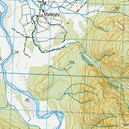


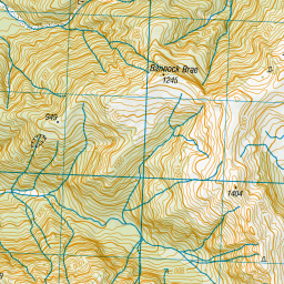
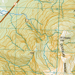
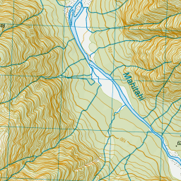
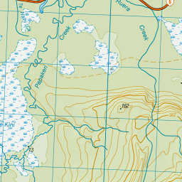

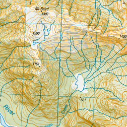
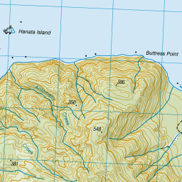
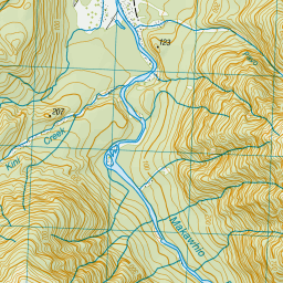
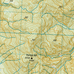
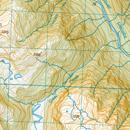


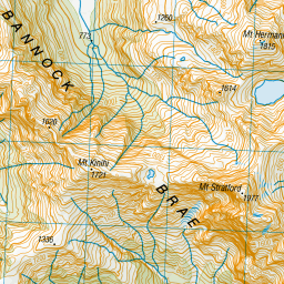

Leaflet | Sourced from LINZ. CC BY 4.0
[ A ] [ B ] [ C ] [ D ] [ E ] [ F ] [ G ] [ H ] [ I ] [ J ] [ K ] [ L ] [ M ] [ N ] [ O ] [ P ] [ Q ] [ R ] [ S ] [ T ] [ U ] [ V ] [ W ] [ X ] [ Y ] [ Z ]