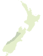
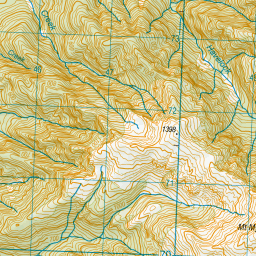
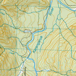
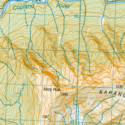
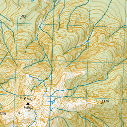
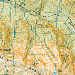
Map showing location of Katau Creek
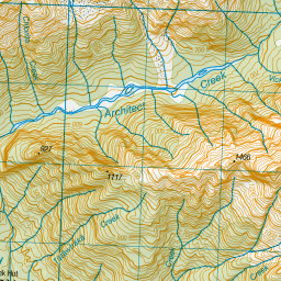
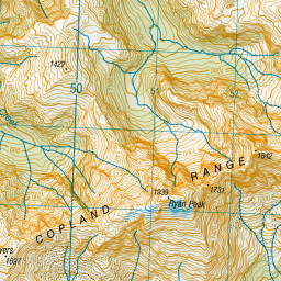
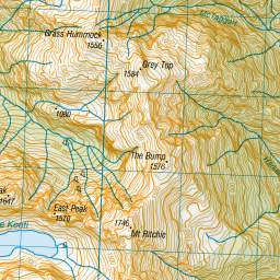
LINZ description: In Westland National Park/Tai Poutini National Park, flowing south into Copland River. Topo50 map BX14 - Gillespies Beach, source: GR 458 687, confluence: GR 461 663.
Latitude: -43.602496
Longitude: 169.851897
Northing: 5167459.1
Easting: 1345918.2
Land District: Westland
Feat Type: Stream
Latitude: -43.602496
Longitude: 169.851897
Northing: 5167459.1
Easting: 1345918.2
Land District: Westland
Feat Type: Stream
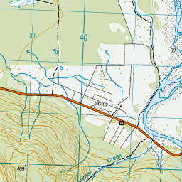
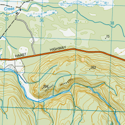
Scroll down to see a more detailed road map and below that a topographical map showing the location of Katau Creek. The road map has been supplied by openstreetmap and the topographical map of Katau Creek has been supplied by Land Information New Zealand (LINZ).
Yes you can use the top static map for you school/university project or personal website with a link back. Contact me for any commercial use.


Leaflet | Map data © OpenStreetMap contributors
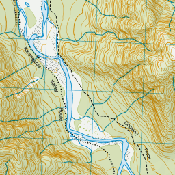
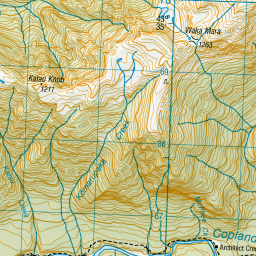
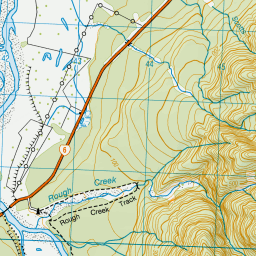
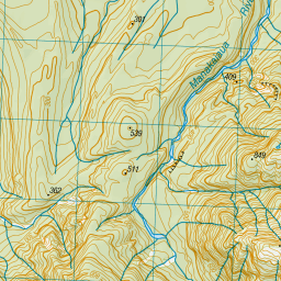
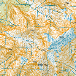
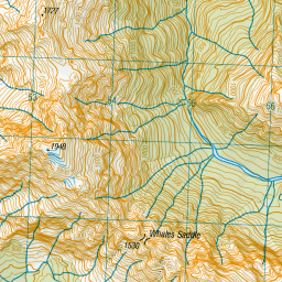
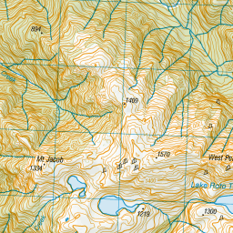
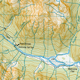

Leaflet | Sourced from LINZ. CC BY 4.0
[ A ] [ B ] [ C ] [ D ] [ E ] [ F ] [ G ] [ H ] [ I ] [ J ] [ K ] [ L ] [ M ] [ N ] [ O ] [ P ] [ Q ] [ R ] [ S ] [ T ] [ U ] [ V ] [ W ] [ X ] [ Y ] [ Z ]