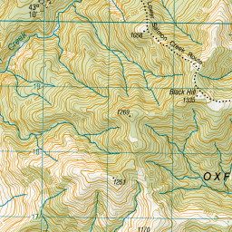
Map showing location of Black Hill
LINZ description: Hill in the vicinity of Waimakariri Gorge, 1335m, 3.5km due East of the Waimakariri River/ Salmon Creek junction. Upper Ashley Survey District.
Latitude: -43.178414
Longitude: 171.995442
Northing: 5218882.6
Easting: 1518357.2
Land District: Canterbury
Feat Type: Hill
Latitude: -43.178414
Longitude: 171.995442
Northing: 5218882.6
Easting: 1518357.2
Land District: Canterbury
Feat Type: Hill

Scroll down to see a more detailed road map and below that a topographical map showing the location of Black Hill. The road map has been supplied by openstreetmap and the topographical map of Black Hill has been supplied by Land Information New Zealand (LINZ).
Yes you can use the top static map for you school/university project or personal website with a link back. Contact me for any commercial use.

Leaflet | Map data © OpenStreetMap contributors


Leaflet | Sourced from LINZ. CC BY 4.0
[ A ] [ B ] [ C ] [ D ] [ E ] [ F ] [ G ] [ H ] [ I ] [ J ] [ K ] [ L ] [ M ] [ N ] [ O ] [ P ] [ Q ] [ R ] [ S ] [ T ] [ U ] [ V ] [ W ] [ X ] [ Y ] [ Z ]


